Login

Southern Lights Seen From International Space Station
The southern lights, also known as the aurora australis, were captured by the NASA astronaut Jessica Meir from the International Space Station on Saturday.


Physicists at the University of Oxford have engineered a new class of ‘cat states’ -- quantum superpositions constructed not from ordinary wave packets, but from deeply exotic, nonclassical components -- opening unexpected paths toward more resilient quantum computers.
The post Schrödinger’s Cat Gets Stranger: Physicists Demonstrate Quantum States No One Has Seen Before appeared first on Sci.News: Breaking Science News.

 The federally commissioned review found no net health benefit from alcohol.




Transforming NASA’s trusted Earth science into powerful business intelligence
NASA Earth science data, tools, and expertise drive economic innovation by providing industry with trusted insights to accurately forecast risk, optimize operations, and advance next-generation business solutions. By connecting, informing, and partnering with businesses, NASA’s Private Sector Engagement Office unlocks new opportunities to reinforce the use of Earth observations in existing markets and broaden adoption across emerging industry sectors, empowering organizations to build powerful and resilient solutions for the future.
Get the latest industry-relevant news and information direct to your inbox.
We will never share your email address.

INNOVATE is NASA’s innovation funding program designed to accelerate the translation of Earth science into real-world applications. Selected teams receive access to NASA funding, data, and expertise to develop solutions that address commercial and societal challenges. This opportunity is open through August 31, 2026.
Investigators & Partners: NASA Goddard Space Flight Center; University of Wisconsin-Milwaukee; University of Colorado; University of Wisconsin-Madison; University of Connecticut; Swiss Re; Munich Re; Eversource
Investigators & Partners: NASA Goddard Space Flight Center; Universities Space Research Association; Meta; Uptime Institute; Open-IX
Investigators & Partners: National Science Foundation; National Center for Atmospheric Research; Mercury Insurance
Investigators & Partners: Space Science Institute; Chapman University; World Food Program; Microinsurance Catastrophe Risk Organization
Investigators & Partners: NASA Jet Propulsion Laboratory; OpalAI; Pacific Gas & Electric; Los Angeles Department of Water & Power
Investigators & Partners: NASA Goddard Space Flight Center; University of Maryland; Science Systems and Applications Inc.; Chainparency
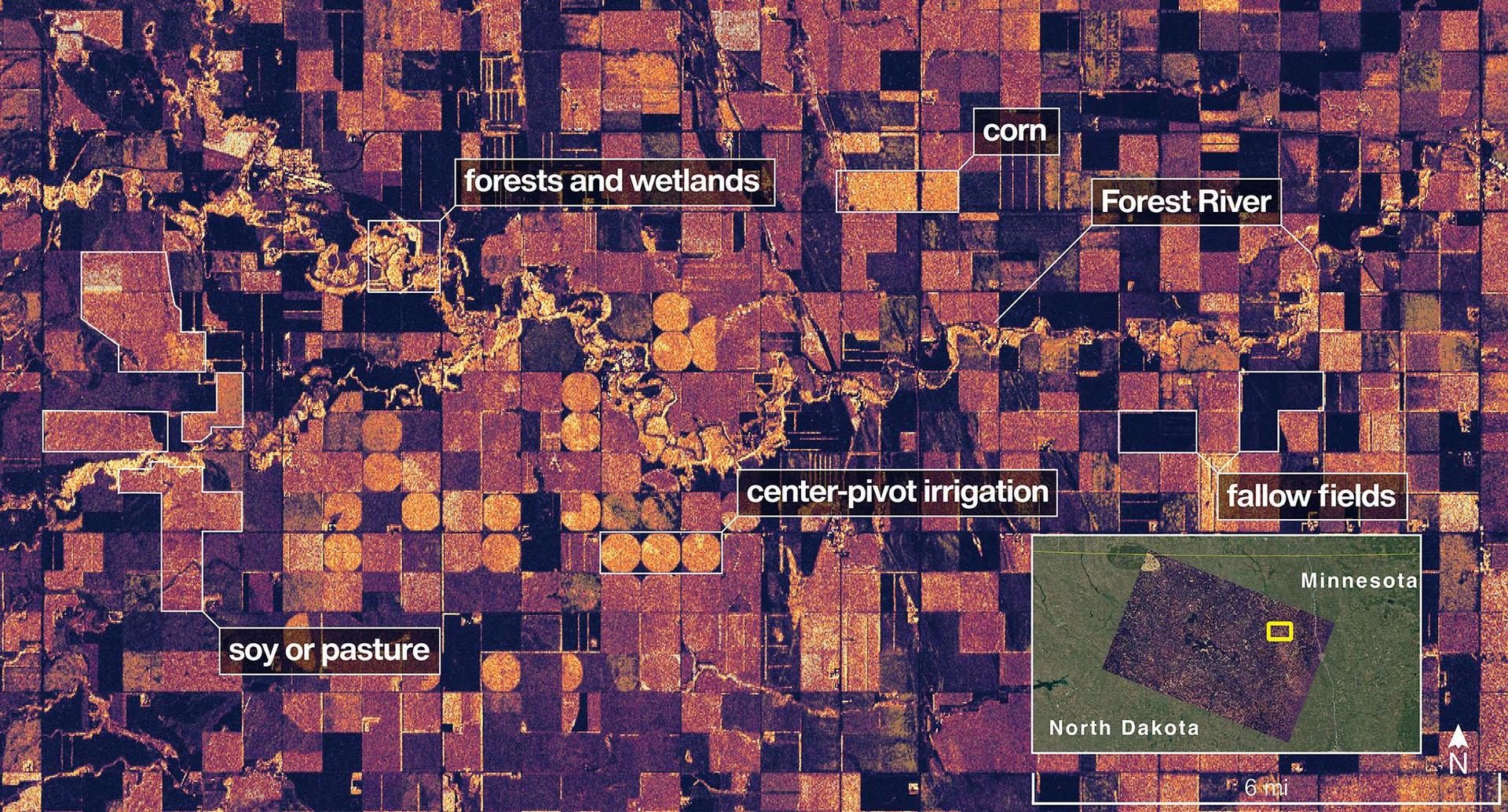
How NASA supports agribusiness
Every day, farmers, food companies, and agricultural producers rely on timely, trusted information to manage their crops, land, water, and supply chains. NASA develops technology and missions to observe agricultural landscapes from space, informing optimal time and location for planting, monitoring of plant growth, best times for harvest, and market readiness assessments. U.S. and international partners use this information to support food security, stabilize markets, and strengthen productive farming.
From space, NASA tracks soil moisture, groundwater, crop condition, water use, heat stress, precipitation, and land change, while also supporting field-level tools and trusted partnerships with producers and agricultural organizations. By transforming satellite data into practical insights, NASA helps agribusiness to anticipate challenges, improve productivity, manage vital resources, and safeguard food systems.
How NASA helps energy & utility companies
Energy providers, utilities, and infrastructure operators need trusted Earth information to plan for demand, protect assets, and keep essential services reliable. NASA Earth science supports decisions related to solar and meteorological resources, extreme heat, wildfire, air quality, flooding, drought, and land movement.
The Prediction Of Worldwide Energy Resources (POWER) project provides solar and meteorological data used by energy, building, and infrastructure communities. NASA Earth insights also help utility companies understand risks to grids, water systems, pipelines, and other critical assets and the Agency engages with partners such as the Center for Weather Innovation, Smart Energy and Resilience to advance Earth observation capabilities for the energy sector. Through data, training, stakeholder engagement, and partnerships, NASA equips energy and utility leaders with trusted information to strengthen resilience and support reliable operations.
How NASA supports insurance & reinsurance
Insurance and reinsurance organizations depend on trusted information to understand hazards, price risk, support claims, and plan for changing risk exposure. NASA Earth science provides observations, models, and long-term records that help characterize events such as wildfire, flood, heat, drought, storms, land change, and infrastructure impacts.
NASA is engaging with the insurance and reinsurance community to better understand where Earth observations can support underwriting, catastrophe modeling, parametric products, claims response, and resilience planning. By participating in pre-competitive industry coalitions like the Center for Innovation in Risk, Catastrophes, and Decisions, as well as sector trainings and industry engagement, NASA helps insurers and reinsurers connect trusted Earth science with the decisions that shape risk, affordability, and recovery.

How NASA helps the finance sector
Financial institutions, investors, and analysts need reliable information to understand physical risk, market exposure, and long-term change. NASA Earth science provides trusted data and models that help organizations to assess risk across assets, portfolios, and supply chains, including wildfire, heat, flood, land change, and infrastructure impacts.
NASA’s engagement with the finance sector focuses on helping users move from awareness to application, identifying relevant datasets, understanding uncertainty, and connecting Earth observations to real business decisions. Through training, collaborative sessions, and sector partnerships, NASA is working to make Earth science more accessible to financial decision-makers seeking trusted, science-based insights.
How NASA helps mining and exploration
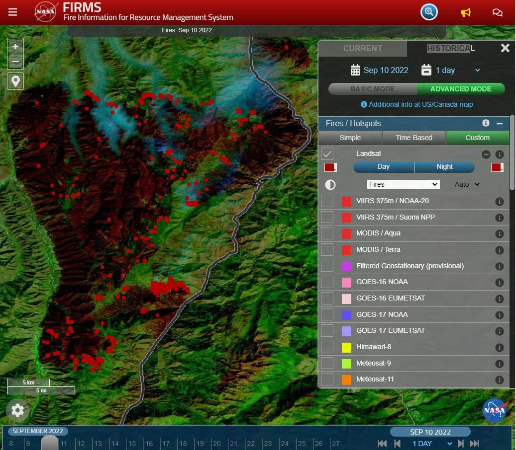
Mining and exploration companies rely on trusted geoscience information to understand landscapes, manage risk, and make decisions across the mineral resource life cycle. NASA Earth science observations can support characterization of terrain, land cover, water resources, surface change, environmental conditions, operational risks, and long-term landscape dynamics.
NASA is engaging with the mining and exploration community to better connect Earth observations with industry needs, from early exploration and resource assessment to operations, closure, and reclamation. Through participation in pre-competitive industry efforts such as the Center to Advance the Science of Exploration to Reclamation in Mining, as well as broader technical exchange and stakeholder engagement, NASA helps bring trusted data, models, and Earth system science into decisions that support responsible resource development.

The NASA Earth Science Industry Summit, hosted by the U.S. Chamber of Commerce on February 2, 2026, served as a strategic forum to explore how NASA’s Earth Science enterprise contributes to the engines of the American economy and how public and private sectors can work together to unlock greater opportunities in Earth observation.
Explore the summary report for key reflections and takeaways, representing the perspectives of more than 180 participants across finance, insurance, agriculture, energy, utilities, and more.
Image Credit: U.S. Chamber of Commerce
Earthdata is your gateway to find, access, visualize, and download NASA Earth science data. Browse the data catalog, search by topic, discover learning resources including tutorials and trainings, and more.
Explore
NASA's Applied Remote Sensing Training Program (ARSET) teaches users how to use remote sensing data for a range of applications. ARSET trainings are available for all levels of experience at no cost, both in person and online.

NASA offers 60 years of experience in advanced engineering and testing capabilities, cutting edge research and technology development, as well as unique assets such as land, facilities and laboratories for use by commercial industries, academic institutions, U.S. government agencies and international entities.

Discover how NASA works with industry, academic, and non-profit partners to advance mutual goals through through strategic, non-procurement partnerships.

The NASA Technology Transfer program ensures that innovations developed for exploration and discovery are broadly available to the public.
NASA Solicitation and Proposal Integrated Review and Evaluation System (NSPIRES) is the official system to submit and manage research proposals.
Eligible organizations that incorporate NASA data into their products, services, or research can gain significant value by displaying the NASA Data Insignia.
| Nima Pahlevan | Program Manager |
| Janelle Heslop | Project Manager |
| Rachel Vershel | Operations Officer |
About NASA’s Earth Science Division

Within a decade, NASA will advance and integrate Earth science knowledge to empower humanity to create a more resilient world.
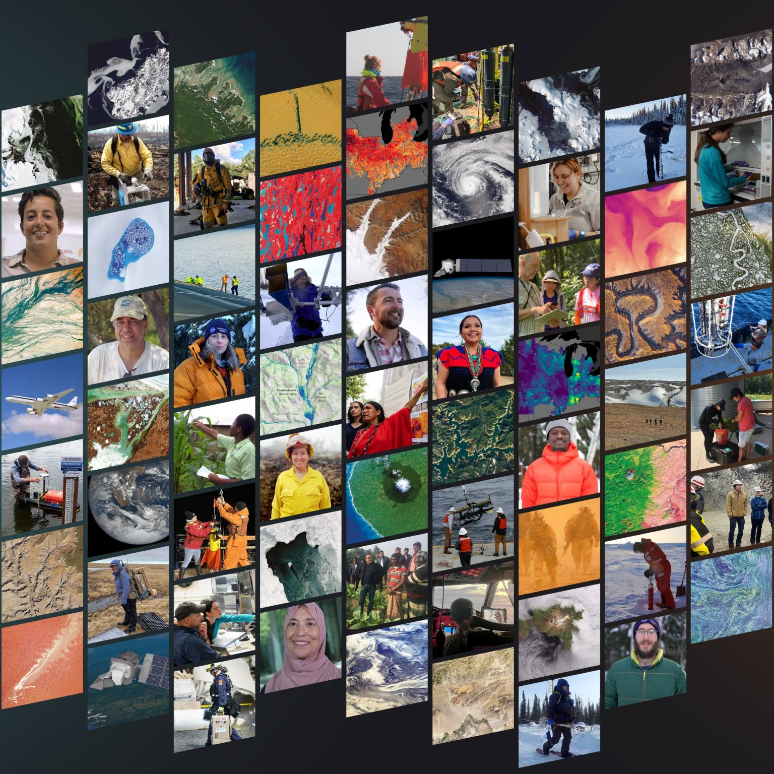
NASA is our nation’s engine of innovation in space, pioneering new technologies and measurements that enable American businesses to grow…

Open access to NASA’s archive of Earth science data

The post Private Sector Engagement appeared first on NASA Science.

Engineers completed installation of Katalyst Space’s LINK robotic servicing spacecraft into a Northrop Grumman Pegasus XL rocket on Tuesday, June 9, at NASA’s Wallops Flight Facility in Virginia. Launch is anticipated later this month.
NASA contracted Katalyst to build and launch LINK to raise the altitude of the agency’s Neil Gehrels Swift Observatory.
Our planet’s atmosphere creates drag for spacecraft in low Earth orbit, gradually reducing their altitudes if they don’t have propulsion systems to counteract the effect.
Recent solar activity magnified this effect on Swift, and its orbit decayed faster than anticipated.

Based on the orbital and programmatic needs of the mission, Katalyst selected the air-launched Pegasus XL as the best means of reaching the observatory in time to perform the boost maneuver.
Northrop Grumman will launch the rocket using Stargazer, its modified L-1011 aircraft.
NASA has previously used similar versions of this launch vehicle to deploy its ICON (Ionospheric Connection Explorer) and NuSTAR (Nuclear Spectroscopic Telescope Array) spacecraft.
Next, Northrop Grumman engineers will attach Pegasus XL to Stargazer, which will carry it from NASA Wallops to Kwajalein Atoll, part of the Republic of the Marshall Islands in the South Pacific Ocean, for launch.
Learn more about the Swift boost at:
https://science.nasa.gov/mission/swift/swift-boost-mission/
By Jeanette Kazmierczak
Goddard Space Flight Center, Greenbelt, Md.
The post Rocket Integration Complete for Katalyst-NASA Swift Boost appeared first on NASA Science.

Fossils from some of the oldest-known animals on Earth, dating from 574 million years ago (Ediacaran period), suggest that cloning, not competition, dominated the Ediacaran seas, slowing evolution until environmental stress helped drive the rise of sexual reproduction and a burst of biodiversity.
The post Earth’s Earliest Animals May Have Thrived Too Easily to Evolve appeared first on Sci.News: Breaking Science News.
 Scientists find fog droplets host growing bacteria that may help clean polluted air.


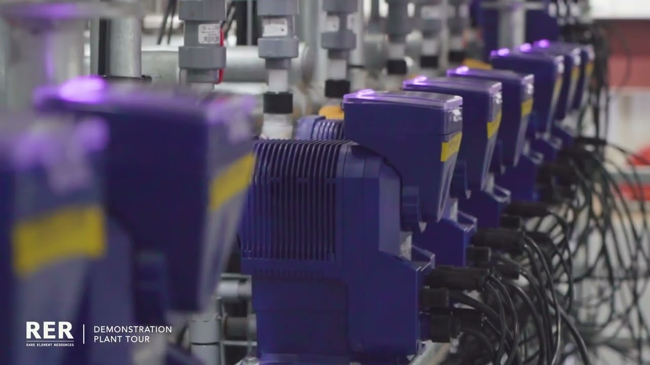
Rare Element Resources (RER) has issued a project update on its Bear Lodge rare earth element deposit in Wyoming, one of the largest known carbonatite-hosted rare earth deposits in North America. According to the update the environmental review and mining site permitting is in progress and is anticipated to be completed by March 2028. The update also states that the demonstration rare earth element (REE) separation plant will commence operations by late summer 2026. It is scheduled to run for up to 12 months and will produce an up to 10 tons of neodymium-praseodymium (Nd/Pr) oxide.
The mineral deposits at Bear Lodge contain both the magnet rare earth materials neodymium, praseodymium, samarium and terbium as well as cerium (Ce), lanthanum, yttrium, gadolinium, europium and dysprosium. All these elements are on the U.S. Geological Survey`s list of 60 critical minerals. The minerals on the list have been identified as critical due to their role in national security or economic development and by their risk of supply chain disruption.
The vertically integrated Bear Lodge Rare Earth Project encompasses mining of rare earth element (REE) ore which will become feed material for a state-of-the-art commercial processing facility. The facility will produce high-purity separated neodymium-praseodymium (NdPr) oxide using the company`s patented, environmentally friendly technology. It will be designed as a zero discharge facility and will located approximately 40 miles from the mining area.
The full scale commercial processing facility will be built based on the operational, economic, and engineering data derived from the demonstration plant. This US Nuclear Regulatory Commission certified plant is located at Upton, Wyoming.
Ken Mushinski, President and CEO of RER said “The primary objective of a Demonstration Plant is to systematically uncover and resolve mechanical and operational challenges before scaling to a commercial facility”.
He further said “By fine-tuning our primary processing circuit and resolving these filtration inefficiencies now, we are effectively de-risking our commercial trajectory. Once this front-end optimization is complete, the primary circuit will continuously feed our completed separation circuits to yield high-purity NdPr.
According to the company the proprietary separation process involves four steps. It commences by crushing and screening of the feed sample to 1mm size followed by counter-current leaching and selective precipitation, to chemical digestion and solvent extraction, and finally to REE separation and refining.
The final REE separation and refining process involves multiple steps, these remove the Nd/Pr (at greater than 99.5 percent purity) as well as samarium, europium, gadolinium, lanthanum and heavy rare earth concentrates.
The company states that it has done extensive laboratory bench-scale and pilot plant testing on metallurgical processes to recover saleable rare earth products and has been granted two patents on its metallurgical processing. These involve removal of thorium from REE containing acidic solution, as well as the selective extraction of REEs using oxalic acid. These patented processes have been further advanced in collaboration with General Atomics, the company’s majority shareholder.
The United States currently has limited domestic capacity for separating and processing rare earth elements into refined oxides or metals. Mountain Pass in California remains the only operating rare earth mine in the country, though its concentrate is largely shipped to China for separation (which accounts for 91 percent of the global refined output). Projects like Bear Lodge are positioned as potential contributors to a more complete domestic supply chain, from ore to separated material.
Although permitting timelines, metallurgical recovery rates, and sustained financing are the primary variables that determine whether a deposit moves from resource estimate to operating mine.

Eight endangered Asiatic lions recently died at a national park in India, with officials initially suspecting a tick-borne parasitic disease that had previously plagued the area. However, the Gujarat government later revealed the true culprit: extreme heat. This tragic incident highlights a growing crisis as rising temperatures threaten wildlife populations across the globe.
The lion deaths underscore the urgent need for better protection strategies as climate change intensifies heat stress on vulnerable species. Animals face numerous challenges during extreme heat events, from dehydration and heat stroke to habitat disruption and food scarcity. Endangered species are particularly at risk, as their already small populations cannot afford significant losses.
In response to this mounting threat, scientists have developed a new forecasting tool designed to predict heat-related risks to wildlife months in advance. The system aims to provide early warnings that could help conservation managers take preventive measures, such as providing additional water sources, creating shade structures, or temporarily relocating animals to cooler areas.
While this technological advancement represents a promising step forward in wildlife conservation, significant questions remain about its practical implementation and effectiveness. The challenge lies not just in predicting dangerous conditions, but in having the resources and infrastructure to act on these forecasts quickly enough to save lives at scale. As extreme heat events become more frequent and severe, protecting vulnerable wildlife populations will require both innovative tools and coordinated conservation efforts.
The post New Heat Forecasting Tool Aims to Prevent Wildlife Deaths as Extreme Temperatures Kill Endangered Animals first appeared on EnviroLink Network.

At nearly 80 years old, retired Texas shrimper Diane Wilson had every reason to stay home. Instead, she embarked on an extraordinary 8,000-mile journey to Taiwan as part of a bold environmental activism campaign targeting one of Asia’s largest petrochemical corporations.
Wilson joined two other Gulf Coast environmentalists in traveling to Formosa Plastics Corporation’s annual shareholder meeting in Taipei, bringing their fight against industrial pollution directly to the company’s doorstep. The retired shrimper, who has only a high school education but decades of experience witnessing environmental degradation along the Texas coast, agreed to make the grueling international trip as part of what she calls a strategy of being “relentless” in holding polluters accountable.
The confrontation represents a growing trend of grassroots environmental activists taking their local battles to global corporate headquarters. For Wilson and her fellow activists, the Taiwan trip symbolizes the international nature of environmental challenges, where pollution generated by multinational corporations affects communities across continents. Their presence at the shareholder meeting aimed to give voice to Gulf Coast residents who live with the daily impacts of petrochemical industry operations.
This David-and-Goliath story highlights how ordinary citizens are increasingly willing to go extraordinary lengths to demand corporate environmental responsibility, crossing oceans to ensure their voices are heard in boardrooms where crucial decisions about industrial operations are made.
The post Texas Shrimper Travels 8,000 Miles to Taiwan to Confront Petrochemical Giant at Shareholder Meeting first appeared on EnviroLink Network.

A chemical repackaging and distribution company in Durham, North Carolina is being sued by the state for allegedly polluting a local creek with dangerous chemicals for decades. State regulatory documents reveal that Brenntag has discharged high levels of toxic substances including acetone, ethanol, and 1,4-dioxane, along with unidentified materials described as “mucilaginous goo,” into the waterway.
The contaminated creek flows directly behind an elementary school and winds through a public park located in a predominantly Black neighborhood, raising serious environmental justice concerns. The pollution has exposed children and community members to potentially harmful chemicals through their local water system and recreational areas.
The contamination issue has been ongoing, with Durham city officials taking enforcement action against the company. Since 2023, Brenntag has been fined $157,000 for water contamination violations, indicating the persistence and severity of the pollution problem.
This case highlights the broader issue of industrial facilities operating near schools and residential areas, particularly in communities of color that often bear a disproportionate burden of environmental hazards. The lawsuit represents an escalation in efforts to hold the company accountable for the environmental damage and protect public health in the affected neighborhoods.
The post Durham Chemical Company Faces Lawsuit for Decades of Toxic Creek Contamination Near Elementary School first appeared on EnviroLink Network.

The cycle of life and death in nature extends far beyond what meets the eye, with deceased organisms playing crucial roles in shaping the fate of entire ecosystems long after they’ve perished. While the sight of mushrooms sprouting from fallen logs or insects colonizing dead trees is familiar to many nature observers, new research reveals that this phenomenon operates on a much grander scale than previously understood.
Scientists have discovered that when “foundation species” – the cornerstone plants and animals that provide structure and resources for entire ecological communities – die, their remains continue to exert powerful influence over the survival and prosperity of other organisms. These dead giants don’t simply disappear; instead, they become environmental architects, creating new habitats and resource opportunities that can sustain diverse communities for years or even decades.
The research highlights how a single fallen tree can transform into a bustling metropolis of life, hosting everything from decomposer fungi to predatory beetles, each playing their part in an intricate web of interactions. This “afterlife ecology” demonstrates that death in nature isn’t an ending but rather a transformation – dead wood becomes nursery habitat, decaying leaves enrich soil chemistry, and empty shells provide shelter for new inhabitants.
Understanding these post-mortem ecological relationships is becoming increasingly important as climate change and habitat destruction threaten foundation species worldwide. When these keystone organisms disappear, their ecological influence continues, but the loss of new recruitment means ecosystems may face long-term structural changes that ripple through entire food webs.
The post How Dead Trees and Plants Continue to Shape Thriving Ecosystems After Death first appeared on EnviroLink Network.
 These squirrels had no quarrels about what they were eating.