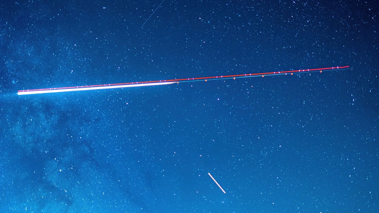
NASA satellites designed to observe cyclone wind speeds and collapsing ice sheets have also proven capable of identifying the approximate locations of GPS jammers. That could help monitor high-risk areas for aircraft and ships navigating the growing prevalence of GPS interference worldwide.
Two different NASA satellite systems showed how they could locate a known but mysterious GPS jammer within several kilometers of its position in Iran, according to an experiment by Sean Gorman, CEO and cofounder of the location-based technology company Zephr.xyz that was detailed in the magazine GPS World. Such jammers use strong signals to overpower the weaker radio signals coming from US-operated GPS satellites and other global navigation satellite systems.
Such NASA satellites cannot perform “near-real time monitoring” or pinpoint the exact location of GPS jammers, said Clara Chew, principal scientist and lead of the GNSS systems and data team at the California-based satellite manufacturer Muon Space, who was not involved in the study. But Chew told Ars that identifying the approximate locations of GPS jammers “could potentially be helpful for flight planning” or for “indicating high risk areas for maritime shipping.”
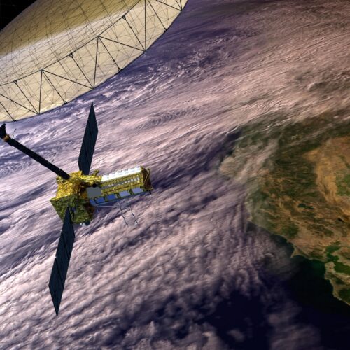
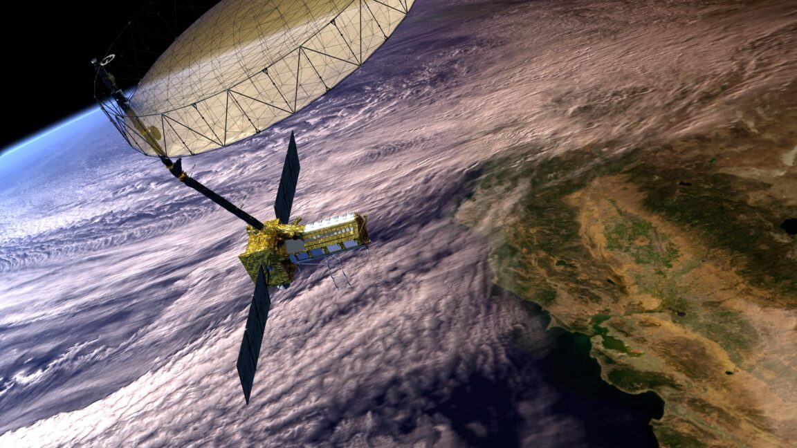
At least four Russian military satellites changed their orbits to match that of a Finnish-American radar surveillance satellite in the last week, raising questions about Russia's intentions amid an ever-expanding standoff high above Earth.
The maneuvers were identified through open source orbital tracking data. Greg Gillinger, a retired Air Force space intelligence officer, revealed the orbit changes Friday in a special edition of his Integrity Flash newsletter, published by Integrity ISR, a private business that provides "combat-proven operational support and elite training that enhances mission success across ISR (Intelligence, Surveillance, and Reconnaissance), cyber, space, and targeting domains."
The Russian satellites in question, designated Kosmos 2610 through 2613, launched together on April 16 on a Soyuz-2.1b rocket from Plesetsk Cosmodrome in northern Russia. Over the last week or so, the four satellites adjusted their inclinations—the angles of their orbits to the equator—by less than a degree.
The rocket, built by the Jeff Bezos-owned space company, was to carry 48 satellites into space. Blue Origin reported on social media that “all personnel have been accounted for.”
A new report stresses the strategic and security implications of placing mass drivers on the moon by arguing that these launchers could serve as valuable first strike weapons systems.
A new report stresses the strategic and security implications of placing mass drivers on the moon by arguing that these launchers could serve as valuable first strike weapons systems.
NASA satellites designed to observe cyclone wind speeds and collapsing ice sheets have also proven capable of identifying the approximate locations of GPS jammers. That could help monitor high-risk areas for aircraft and ships navigating the growing prevalence of GPS interference worldwide.
Two different NASA satellite systems showed how they could locate a known but mysterious GPS jammer within several kilometers of its position in Iran, according to an experiment by Sean Gorman, CEO and cofounder of the location-based technology company Zephr.xyz that was detailed in the magazine GPS World. Such jammers use strong signals to overpower the weaker radio signals coming from US-operated GPS satellites and other global navigation satellite systems.
Such NASA satellites cannot perform “near-real time monitoring” or pinpoint the exact location of GPS jammers, said Clara Chew, principal scientist and lead of the GNSS systems and data team at the California-based satellite manufacturer Muon Space, who was not involved in the study. But Chew told Ars that identifying the approximate locations of GPS jammers “could potentially be helpful for flight planning” or for “indicating high risk areas for maritime shipping.”