Normal view

New Study Reveals Wetland Loss Drives $10 Billion Surge in Residential Flood Insurance Claims

2 June 2026 at 19:59

In an era marked by escalating climate risks and intensifying hydrological extremes, a groundbreaking study recently published in Nature Water uncovers a startling economic consequence of wetland degradation across the United States. Environmental Defense Fund (EDF) researchers, including Jesse Gourevitch, Adam Gold, and Helena Garcia, present compelling evidence that the loss of wetlands upstream profoundly magnifies downstream riverine flood damages, leading to a staggering increase exceeding $10 billion in residential flood insurance claims since 1985. This study elucidates the crucial, yet often undervalued, role that wetlands play as natural infrastructures modulating flood risk.

Utilizing a spatially explicit, sub-watershed-level analysis, this research integrates hydrological modeling with socio-economic data, particularly insurance claim records from the National Flood Insurance Program (NFIP). By correlating changes in upstream wetland extent with the magnitude of downstream flood insurance payouts, the study isolates the impact of wetland loss on flood severity while controlling for confounding variables such as antecedent local precipitation and intrinsic flood exposure of affected properties. This methodological rigor allows for robust attribution of increased flood damages to wetland area reductions, advancing beyond prior assessments that predominantly offered qualitative or aggregate insights.

The quantification reveals that every hectare of wetland lost upstream corresponds to a 0.01% to 0.03% increase in residential flood claim payments downstream. While seemingly marginal per unit area, these increments aggregate to an unparalleled nationwide surge of $10.1 billion in NFIP claims, reflecting a 9% rise in flood-related payouts attributable to wetland decline over nearly four decades. Spatial variability is pronounced, with metropolitan Houston, southeastern Louisiana, and coastal Florida emerging as epicenters where wetland depletion translates into disproportionately amplified insurance costs, underscoring regional vulnerabilities rooted in both ecological and socio-economic factors.

A salient revelation of the study is the identification of wetland ecosystem services in measurable economic terms. In the top decile of sub-watersheds, each hectare of wetland conserves approximately $24,783 in residential flood damage annually. Astonishingly, the top one percentile of watersheds showcases values exceeding $301,268 per hectare, underscoring the immense protective benefits wetlands confer in critical hydrological contexts. This granular valuation equips policymakers and urban planners with concrete metrics to incorporate ecosystem services into infrastructural cost-benefit analyses and land-use decisions.

Beyond economic metrics, the research emphasizes equity dimensions of wetland loss impacts. Lower-income and predominantly non-white communities have disproportionately borne the brunt of amplified flood damages stemming from upstream wetland depletion. This intersectional insight highlights the urgency of integrating environmental justice considerations in conservation strategies and flood risk mitigation policies, ensuring vulnerable populations do not shoulder inequitable burdens of ecological degradation.

The scope of the study acknowledges limitations inherent in relying solely on NFIP data, which insures approximately 30% of total flood damages nationwide. By extrapolating to encompass uninsured losses and private insurance claims, the researchers estimate that the aggregate cost of flood damage attributable to historical wetland loss could exceed $33 billion since 1985. These figures starkly illustrate the expansive financial stakes tied to wetland conservation and restoration efforts, amplifying the imperative for proactive natural infrastructure management.

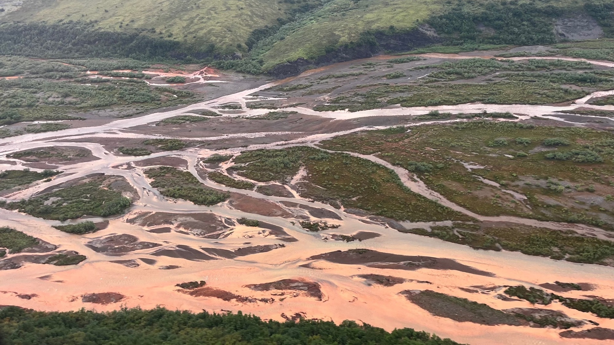
From a hydrological perspective, wetlands function analogously to sponges, absorbing substantial volumes of precipitation and surface runoff during storm events. This attenuation delays and diminishes flood peaks downstream, thereby mitigating property damage. Yet, persistent wetland conversion for development and agriculture continues apace, eroding these ecosystem services. The study’s findings make explicit the hidden costs of such land-use changes, reframing wetlands as critical assets whose depletion generates tangible, quantifiable economic consequences.

The authors also explore the policy implications of recent regulatory proposals, particularly the Trump Administration’s proposed revision to the federal “Waters of the United States” (WOTUS) definition. This redefinition threatens to exclude up to 91% of non-tidal wetlands from federal protection if they lack long-term surface water presence, potentially stripping vast tracts of wetlands from regulatory safeguards. The study estimates that these non-WOTUS wetlands, absent additional protection, provide flood mitigation services valued at approximately $177 billion for residential properties alone, signaling a profound risk of future unchecked losses in flood resilience.

Notably, the research underscores that the measured benefits of wetlands extend well beyond riverine flood mitigation for residences. Additional ecosystem services—such as biodiversity habitat, water quality enhancement, carbon sequestration, and recreational value—compound the societal benefits of wetland ecosystems. Including these factors would only magnify the economic imperative to preserve and restore wetlands as multifunctional landscapes vital to climate adaptation and environmental sustainability.

Consequently, this study delivers a clarion call to integrate wetland valuation comprehensively into federal and state decision-making frameworks. Whether informing benefit-cost analyses for infrastructure investments, refining flood insurance models to reflect natural flood defenses, or guiding targeted conservation financing through easements and acquisitions, the evidence-based quantification of wetlands’ flood risk reduction services is poised to reshape environmental governance paradigms.

As climate-induced flooding intensifies, and development strains hydrological systems, this pivotal research accentuates that restoring and protecting wetlands is neither a mere environmental ideal nor a marginal policy convenience. Instead, it constitutes a foundational strategy to curb economic losses, foster community resilience, and achieve equitable climate adaptation outcomes. The $10 billion increase in flood claims linked to wetland loss is an unequivocal economic signal—preserving nature’s infrastructure is essential for sustainable water resource management and disaster risk mitigation in the twenty-first century.

Subject of Research:
Article Title:
News Publication Date: June 1, 2026
Web References: https://www.nature.com/articles/s44221-026-00656-3
References: Environmental Defense Fund study published in Nature Water, June 2026
Image Credits:

The mystery of Alaska’s orange rivers is finally solved

2 June 2026 at 17:25

Alaska’s Arctic rivers have a big, orange problem. Previously clear rivers are turning a cloudy orange color due to iron particles, and it’s more than unsightly. The particles can suffocate fish and choke insects, threatening the food web and ecosystem as a whole. 

Scientists have long pointed to previously frozen soil beginning to thaw as the potential culprit behind the contamination of rivers in northern Alaska’s remote Brooks Range, and a study recently published in the Communications Earth & Environment proves it. The research also shows two distinct ways that this thawing soil is rusting the rivers and can help scientists predict where the damage is likely to spread next. 

“You’d think if any ecosystem could hide from the effects of warming and big human footprints, it’d be this one. But it’s not so,” Tim Lyons, a study co-author and biogeochemist at the University of California, Riverside, said in a statement. “There is no safe place.”

a scientist samples river water that has turned orange
Researcher sampling rusty Alaskan river water. Image: Tim Lyons/UCR.

From thawing permafrost to orange water

Permafrost is rock or soil that contains ice that has been frozen for two or more years. Alaska is warming two to three times faster than the global average, melting some of the permafrost that has been frozen for thousands of years. That thawing permafrost is already threatening the Tracy Arm Fjord, a popular destination for Alaskan cruises. 

As the ice-filled permafrost begins to thaw due to climate change, it can turn into mud that can’t support the weight of the soil or vegetation above it. This can threaten human-built infrastructure such as homes, pipes, and roads. It can also expose iron particles from rocks that turn rivers orange, a process called rusting. 

Rusting has severe ecological consequences. The fine iron particles can stay suspended in water for over 60 miles, smothering algae, disrupting insect populations, and clogging fish gills. These changes may already be affecting salmon in Alaska and Canada who rely on the gravel riverbeds for spawning and rely on algae as food during early life stages.

A top-down, fool’s gold problem

For this new study, the team looked at a wide regional view of the roughly 600-mile Brooks Range. They then zoomed in on a specific river system, followed by an even closer look at one creek. This top-down approach helped them to connect the bigger regional patterns to specific, on-the-ground processes.

“At middle, more heavily forested elevations, there isn’t much going on. But at the higher and lower elevations we could see distinctly different phenomena,” said Roman Dial, a study co-author math and biology professor emeritus at Alaska Pacific University.

At the higher elevations, the problem begins in the rocky ground containing pyrite, aka fool’s gold. Since the ground was frozen for many years, water and air didn’t affect the pyrite. Yet the rising temperatures have started to melt the ground, kicking off a process called acid rock drainage. The minerals and rocks are exposed to oxygen and water and degrade the water quality. 

“When pyrite meets water, it comes apart. It breaks down into iron and sulfur, creating sulfuric acid as well as sulfate and other toxic metals,” said Lyons. “When the iron-rich water mixes with more oxygen, the iron turns into rust-like particles that color the water and stain the bottom sediments orange.”

It’s an entirely different story at the lower elevations. The landscape is covered with wetlands that are changing shape and expanding downward as the permafrost melts. In these more soggy places, the soils are low in oxygen. So instead of breathing in oxygen, the microbes in the water (mostly bacteria) are taking in iron. 

“When we breathe, oxygen goes in and gets converted to the carbon dioxide that we exhale,” Dial said. “Similarly, microbes are consuming iron in the lowland soils and converting it into a water-soluble form that seeps into streams and results in rusting as it meets oxygenated surface water.”

Taken together, both acid rock drainage and microbes breathing in more iron help explain why orange waters are appearing across such large and remote regions across northern Alaska, closely tracking to areas where permafrost is thawing.

scientists sampling orange river water

The direct link

The team also found a delayed effect that could help predict future contamination. During the summer, the active, top layer of soil thaws to its deepest point. It then refreezes before the winter. The iron released during one summer thaw can become trapped and then flushed into rivers the following year.

By studying long-term ground temperature data and stream chemistry, this lag can be used to anticipate increases in metal levels.

“That means we can use ground temperatures to help predict water quality in the future,” added study co-author and University of Alaska ecologist Paddy Sullivan. In 2019, Sullivan first noticed the dramatic river changes that looked “like sewage” during fieldwork in the region.

Since mines typically control the waters near them to minimize pollution, the team partnered with scientists at the Red Dog zinc mine in northwest Alaska. The scientists there have long-term temperature records from boreholes that are drilled deeply into the earth and from chemistry sampling in stream water. Linking the underground measurements with changes in the stream’s chemistry directly connected the thawing permafrost to the rusting rivers.

While this problem is difficult to contain and manage, predicting where the contamination may pop up next could help pinpoint and protect critical habitats. This forecasting is especially important for communities that depend on these waters and the fishing living there for food and cultural practices.

“There’s no fixing this once it starts,” Lyons said. “But we can give people downstream a heads up and work hard to protect the places that are still safe and less vulnerable to the rusting.”

The post The mystery of Alaska’s orange rivers is finally solved appeared first on Popular Science.

50 million pounds of invasive fish removed from Illinois River

1 June 2026 at 17:02

While swimmers and boaters don’t have to fear sharks or giant squid in the Great Lakes watershed, invasive fish the size of large dogs lurk in the freshwater. Invasive carp have wreaked havoc on the ecosystem for over a century, but officials have hit a milestone worth celebrating in the fight against these mega fish. 

In the past 15 years, wildlife officials have removed 50 million pounds of invasive carp from the Illinois River. That’s equivalent to roughly 5,000 elephants. The removal is part of a broader and coordinated effort to protect the rivers and lakes from this non native species.

Why are carp a problem?

Currently, four species of invasive carp cause harm in the Great Lakes and beyond—bighead carp (Hypophthalmichthys nobilis), silver carp (Hypophthalmichthys molitrix), black carp (Mylopharyngodon piceus), and grass carp (Ctenopharyngodon idella). 

According to the Great Lakes Fishery Commission, all four species were imported to North America to help with pest control in aquaculture facilities in the 1970s. The carp escaped confinement in only 10 years, and have spread to the Mississippi River basin and other large rivers, including the Missouri and Illinois.

Each of the four invasive carp species can weigh more than 100 pounds and grow to four feet from tip to tail. Bighead carp and silver carp generally feed on the tiny plankton in the water, while grass carp eats rooted plants in shallow water, and black carp feed primarily on mollusks and snails. 

“They consume so much food and can exist in such great numbers that they can really reduce the amount of [resources] for resident species of fish,” Peter Alsip, an ecologist with the NOAA Great Lakes Environmental Research Lab told Popular Science in 2024. “They can have indirect effects on the whole ecosystem because [silver carp] are consuming phytoplankton and zooplankton, which are essentially the base of the food web.”

Once inside a watershed, they can reproduce rapidly and compete with native fish species for resources. In areas where invasive carp are abundant, they have harmed other fish species  and interfered with commercial and recreational fishing, according to the United States Fish & Wildlife Service (USFWS). They can also pose a danger to humans, as the giant fish can jump out of the lake and hit unsuspecting boaters.

What is being done to stop them?

Carp eradication measures have been active for over 100 years. These efforts include targeted mass removal efforts, developing barriers to block or impede their movement, and ongoing monitoring. 

carp in a large net
Cap being culled in the Illinois River. Image: Illinois Department of Natural Resources.

The 50 million pounds of fish removed from the Illinois River were part of a program focusing on the northern part of the river about 50 miles from Lake Michigan. The removal project is designed to suppress the mostly adult populations of carp living in the area, by limiting their ability to reproduce and reduce their migration upstream towards the Electric Dispersal Barrier System. Located about 37 miles from Lake Michigan, this electric barrier is designed to deter their movement through the Chicago area. It is one of the main tools wildlife officials are using to keep them from further entering the Great Lakes through the Illinois River. Another program in the Illinois River offers fish harvest incentives to commercial fishers in the river’s lower 240 miles. 

“The more invasive carp we remove, the more we reduce their harmful impacts and the risk of them reaching Lake Michigan,” the USFWS wrote on Facebook. “Thanks to these and other efforts to monitor our waters and prevent the spread of invasive carp, Illinois and more than two dozen partners are safeguarding some of our most prized native fisheries, and the Great Lakes regional economy.”

The post 50 million pounds of invasive fish removed from Illinois River appeared first on Popular Science.

❌