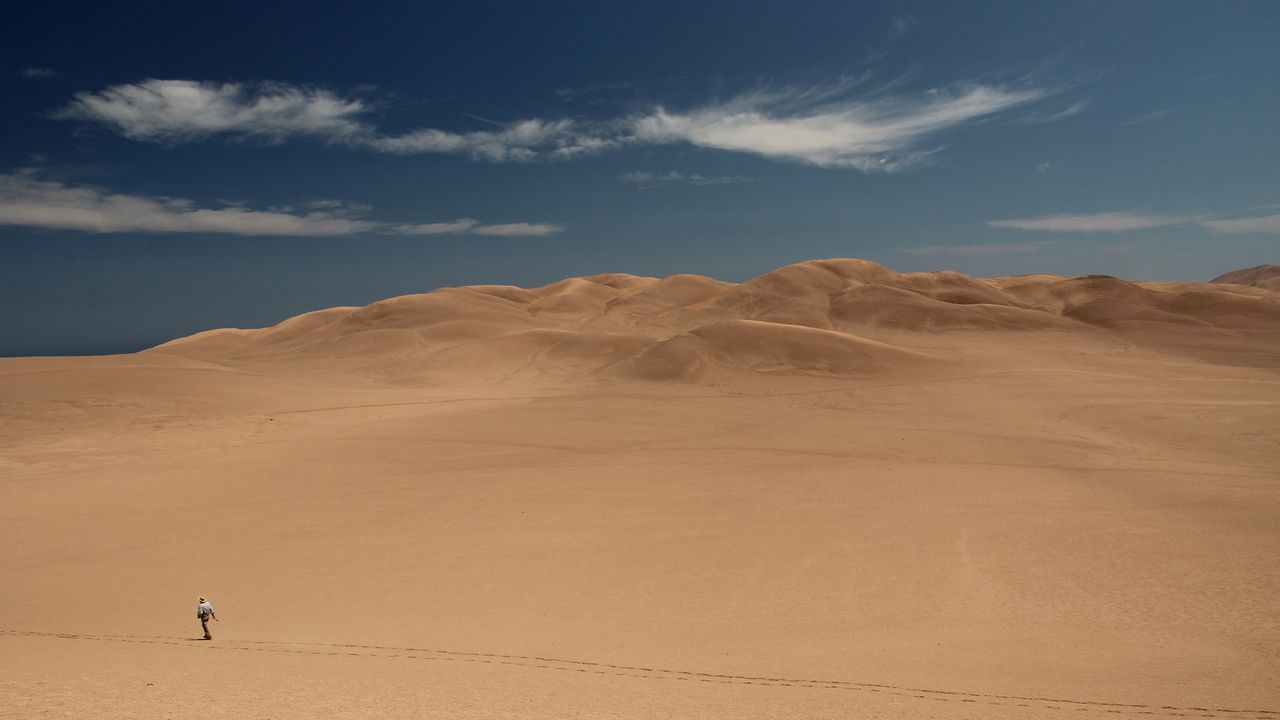
Chile's Atacama Desert, which gets less than 5 millimeters (0.2 inches) of rainfall each year, started to form more than 40 million years ago — 20 million years before the Andes.
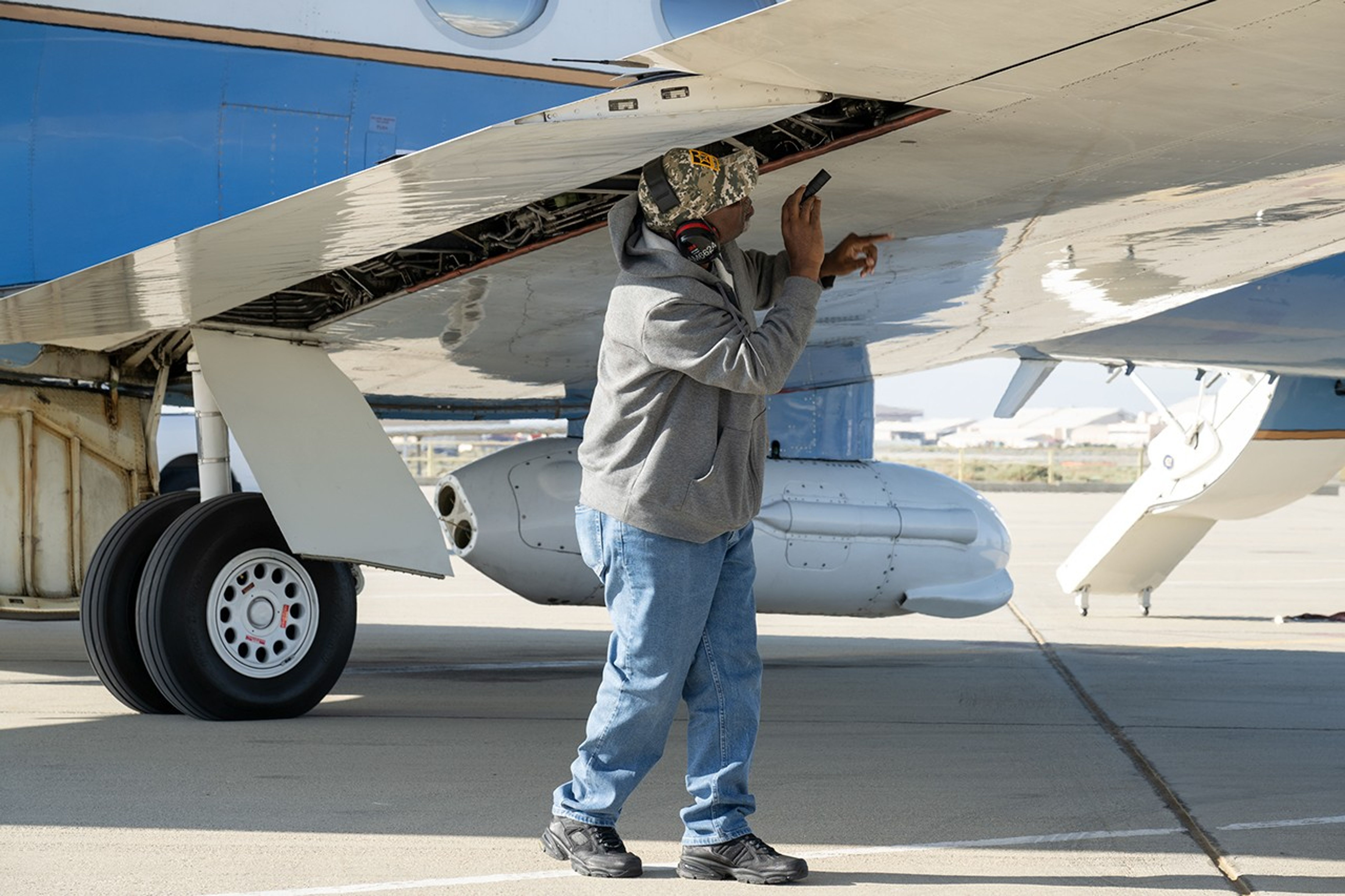
Alvin Mitchell, a NASA C-20A aircraft quality assurance inspector, completes preflight checks at NASA’s Armstrong Flight Research Center in Edwards, California, on April 29 for a mission over Central California. On May 2, the aircraft departed for the Tropical Synthetic Aperture Radar campaign carrying NASA’s Uninhabited Aerial Vehicle Synthetic Aperture Radar.
NASA/Ryan Kline
Data from a NASA campaign in Panama and Peru will help communities prepare for tropical floods in cloud-covered areas, improve scientific understanding of forest health, and support planning for spaceborne missions.
NASA’s C-20A aircraft from Armstrong Flight Research Center in Edwards, California, flew the Uninhabited Aerial Vehicle Synthetic Aperture Radar (UAVSAR) instrument, developed at NASA’s Jet Propulsion Laboratory in Southern California, to gather mission data. While flying repeat paths, the instrument collected high-resolution radar data from a pod mounted beneath the aircraft. The monthlong campaign, known as Tropical Synthetic Aperture Radar, or TropiSAR, concluded on June 4 after 17 flights totaling 75 hours.
Airborne data were captured over Peru in the same times and locations as data captured by the NISAR (NASA-ISRO Synthetic Aperture Radar) satellite to validate key NISAR capabilities and support calibration of the satellite’s L-band radar system. The science validation targeted two measurements: tropical rainforest flood extent within the Pacaya-Samiria National Reserve in Peru, one of the world’s largest protected flooded forests, and glacier movement in the Huascarán National Park in the Peruvian Andes, which is home to the largest concentration of tropical glaciers. The mission also gathered detailed 3D views of tree height and density to estimate biomass, assess forest health, and better understand how forest ecosystems store and release carbon.
In Panama, TropiSAR also supported NASA’s Airborne Validation Unified Experiment: Land and Ocean (AVUELO) campaign in collaboration with the Smithsonian Tropical Research Institute. Airborne radar data were collected from dry forests and coastal wetlands with the goal of better understanding Panama’s rich biodiversity. By linking field measurements with airborne and satellite observations, AVUELO may advance new methods for studying the tropics.
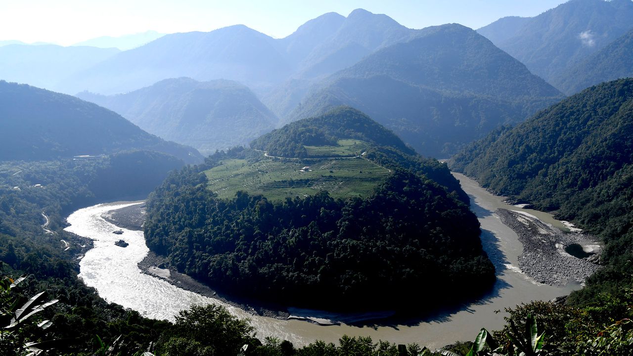
China is building a dam system that will generate more hydroelectric power than the U.S. generates yearly. But the project comes with huge risks for people downstream.
A period of unsettled weather brought scattered showers and thunderstorms to California’s Bay Area on May 27, 2026. That afternoon, a break in the clouds left downtown San Francisco and nearby communities beneath mostly cloud-free skies, allowing an astronaut aboard the International Space Station to take this photograph.
NASA
An astronaut aboard the International Space Station took this picture of downtown San Francisco and nearby communities on May 27, 2026. The image captures two of the region’s iconic bridges. The Golden Gate Bridge connects the northern San Francisco Peninsula with Marin County to the north, while the San Francisco-Oakland Bay Bridge spans the bay toward Oakland to the east.
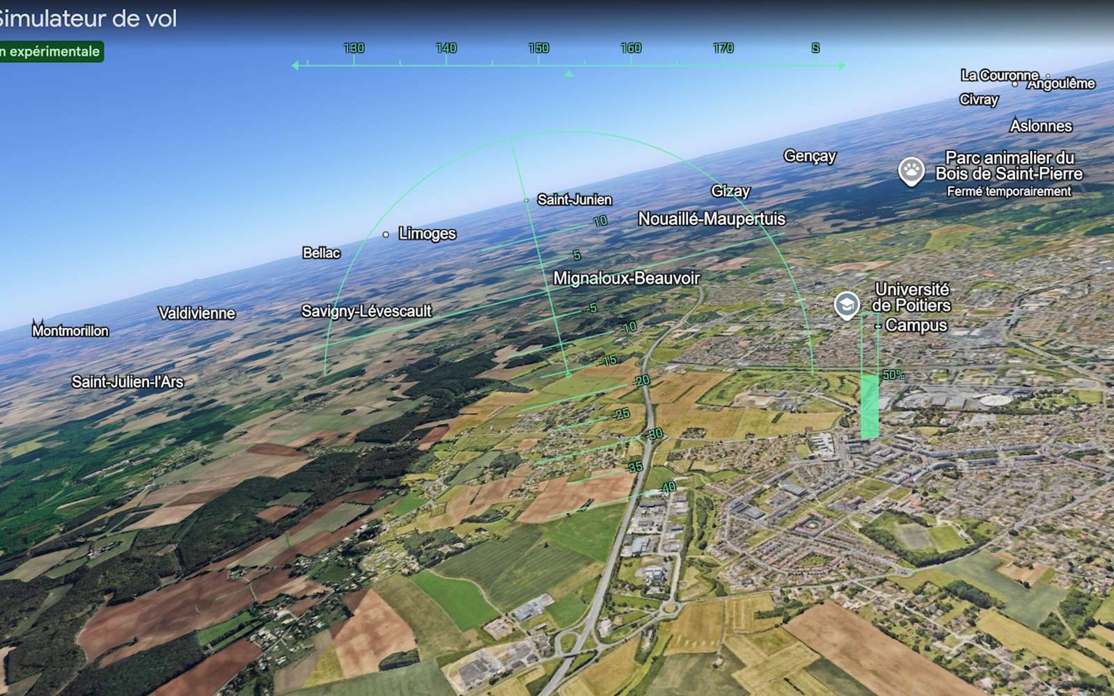
Pas besoin d'installer quoi que ce soit : depuis le 12 juin, Google Earth propose un simulateur de vol entièrement gratuit, directement utilisable dans le navigateur. Une fonctionnalité longtemps réservée aux initiés qui s'ouvre à tous pour changer de point de vue.

 Login