
❌

Reading view

Bedrock fractures shape waterfalls

Waterfalls play an essential role in river development and landscape evolution. Researchers are particularly interested in how abrupt changes in the steepness of a river channel, also called knickpoints, develop. Knickpoints vary in size and can be as small as your index finger or as large as Niagara Falls. Researchers from Virginia hypothesized that waterfalls, a type of knickpoint, can influence erosion when a river channel is cut into solid rock, called bedrock. 

The researchers wondered whether fractures and other pre-existing weaknesses can influence how water removes rock slabs from a river channel, via an erosional process called plucking. Fractures can form in many different orientations, but the researchers focused on 3. Imagine a flat tabletop that represents a riverbed. Fractures that are parallel to the flat tabletop are called horizontal fractures. If you tip the table so the low end points downstream, that’s the direction of downstream-dipping fractures. If you tip the table so the low end points upstream, that’s the direction of upstream-dipping fractures. 

First, the researchers tested how fracture orientation changed erosion before an established knickpoint. They used a man-made channel, called a flume, to simulate a natural river system. To set up the experiment, they glued layers of small tiles about the size of an adult’s thumbnail to a plastic frame and put it in the flume. Then, they placed a layer of unglued tiles upstream of the knickpoint. 

To begin the experiment, the researchers incrementally increased the amount of water flowing through the flume every 5 minutes until they reached a maximum flow or all the loose tiles were “eroded.” They considered a tile to be “eroded” once it was transported over the knickpoint and downstream. The researchers measured the water depth at a fixed point upstream of the knickpoint, the number of tiles eroded through plucking, and the volume of water. They repeated this 8 times for each fracture orientation.

The team found differences in the amount and timing of erosion between the 3 orientations. In particular, they saw that erosion began at lower water speeds for horizontal beds than for tilted beds. Based on the observed erosion rates, they concluded that horizontal beds are the most susceptible to erosion, while upstream-dipping beds are the most resistant, and downstream-dipping beds fall between the 2. 

The researchers then tested how a knickpoint would develop and influence water flow if all of the tiles were unglued and free to move. They individually stacked almost 5,000 unglued tiles across the channel. Before starting the experiment, they filled the flume slowly with water to submerge all of the tiles without moving them. Then, they increased the water’s speed to start erosion. Instead of collecting measurements as they did in the first experiment, the researchers filmed this experiment and observed how the knickpoint shape changed and how plucking occurred. 

The researchers observed that the plucked tiles in this experiment formed piles downstream of the knickpoint in a process known as armoring. This armor of tiles, which represents loose rocks near a waterfall in a natural setting, prevents erosion of the underlying river bed. Only when the water transports the armor downstream can it erode the bedrock and develop a knickpoint.

Unlike the first experiment, researchers found no differences in erosion between fracture orientations in this experiment, but did observe differences in armoring. They found that upstream-dipping beds had the least armoring because water quickly transported piles of tiles near the waterfall downstream. Downstream-dipping beds had the most armoring, and their eroded tiles took longer to move downstream. 

The team concluded that waterfalls will erode at different rates based on their fracture orientation and armoring processes. The orientation of bedrock fractures also impacts the shape of the waterfall and the river channel around it. So the next time you see a large waterfall, consider that it may have started as a small fracture the size of your thumbnail.

The post Bedrock fractures shape waterfalls appeared first on Sciworthy.
  •  

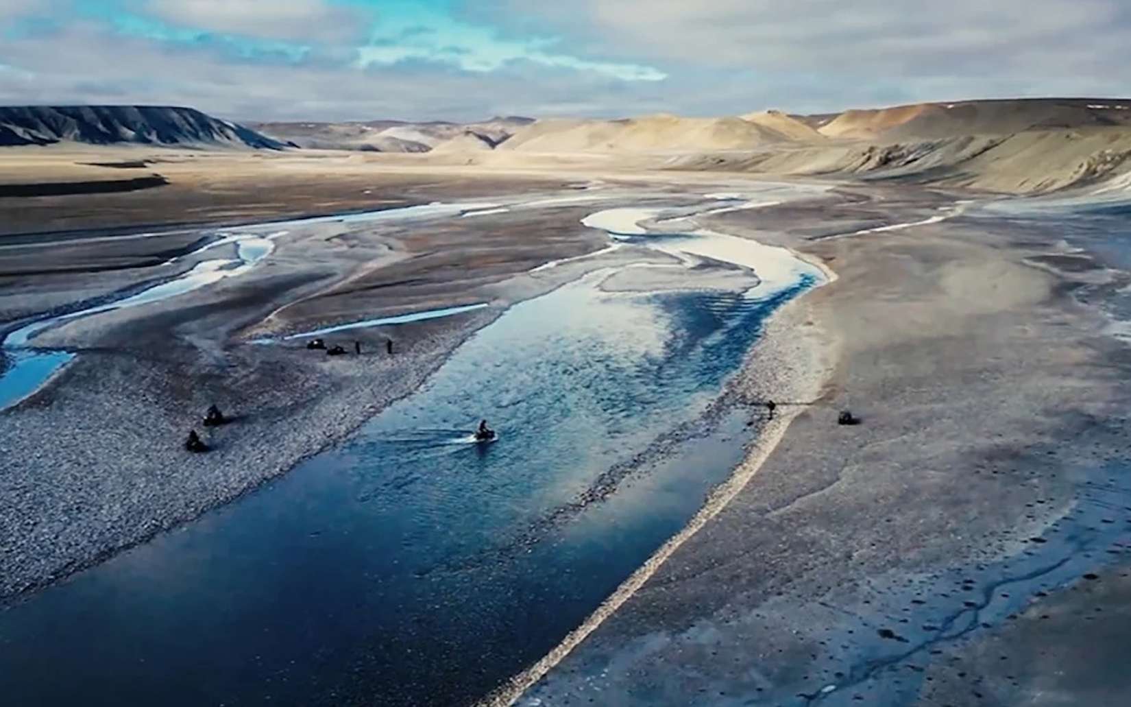
« Ce n’est pas possible » : ces scientifiques ont dû refaire l’expérience avant de croire ce qu’ils voyaient en Arctique

Dans le Haut-Arctique canadien, des chercheurs ont obtenu des résultats si inattendus qu’ils ont d’abord pensé à une erreur. Pourtant, expérience après expérience, le même phénomène s’est reproduit. Et il pourrait obliger les scientifiques à revoir la manière dont ils comprennent l’évolution des...

  •  

The Death of a Supercontinent May Have Formed the Grand Canyon Close to a Billion Years Earlier than Once Thought, New Study Reveals

The Grand Canyon, one of America’s most famous landmarks, may have been created when an ancient supercontinent cracked apart, according to new research.

Roughly 800 million years ago, the supercontinent Rodinia broke apart in a gradual process, taking close to 300 million years. Now, an international team of researchers says that an analysis of the Grand Canyon’s interior rock reveals it may have been exposed long before geologists previously suspected.

The geologists investigated an ancient cliff face that extends for thousands of kilometers and marks a boundary of the Grand Canyon, detailing their findings in a recent paper published in the journal Geology.

Forming the Grand Canyon

Geologists believe the Colorado River slowly carved out the Grand Canyon over five to six million years. A team of international scientists led by the UK’s University of Southampton turned back the clock to study how the environment changed in much more remote periods.

Simulations and computer models were essential to the researchers’ work. They utilized landscape evolution data and reconstructed plate tectonics over massive time scales to better understand how North America fared in the destruction of Rodinia.

Before there was a “Grand Canyon,” the team claims that their work reveals there was likely a “great escarpment,” an earlier landform of rocky cliffs produced in Rodinia’s demise. These cliffs would have been a kilometer high, with a crystalline floor at their base resembling the one now at the bottom of the Grand Canyon. They say this great escarpment would have encompassed much of the western United States, covering parts of Arizona, Utah, Idaho, Wyoming, Colorado, Texas, Oklahoma, Arkansas, Missouri, and Illinois.

Rocks of the Grand Canyon

Erosion along this great escarpment eventually produced the Grand Canyon and exposed some of America’s most ancient rocks.

“Our paper suggests the Canyon’s basement rocks were progressively brought to the surface as part of an immense escarpment that developed during the breakup of an ancient supercontinent,” said lead author Thomas Gernon, Professor of Earth Science at the University of Southampton. “The findings also shed light on the formation of the Great Unconformity, a mysterious gap in the rock record that spans over a billion years.”

One of the biggest surprises is that what is now the Grand Canyon and some of South America and Brazil’s major escarpments once occupied the same positions relative to the continent’s perimeter. They believe that about eight kilometers of rock were ripped away as the escarpment moved inland from the continental margin. Known physical evidence of extreme erosion before the formation of the Grand Canyon corroborates this finding.

“This long-lived tectonic landscape provides a missing piece in understanding why erosion associated with the Great Unconformity varies so dramatically across the southwestern US,” Gernon explained. “Our work suggests that tectonic uplift related to continental rifting and breakup created both steep slopes and high ground, providing the mountainous terrain that rivers and glaciers could readily erode.”

Forming North America

The team’s findings don’t stop at the Grand Canyon, though. They suspect that the mountainous rim exerted a massive influence on North America’s development, including the flow of rivers, locations of sediment buildup, and when flooding occurred; all of which could have been driven by the great escarpment.

“By comparing Grand Canyon’s ancient history with active landscapes like the Great Escarpment of South Africa, we’re able to see North America’s most iconic geologic landmark in an entirely new light,” Professor Gernon concluded.

“Our findings could help geologists reinterpret other ancient continental interiors where similarly large gaps occur in records, offering a better understanding of how Earth’s continents have changed over hundreds of millions of years.”

The paper, “Exhumation of Grand Canyon’s Basement Along the Great Escarpment of Laurentia,” appeared in Geology on August 17, 2026.

Ryan Whalen covers science and technology for The Debrief. He holds an MA in History and a Master of Library and Information Science with a certificate in Data Science. He can be contacted at ryan@thedebrief.org.

  •  

Human Impact and Climate Drive China’s Sediment Transfer

In an unprecedented exploration of Earth’s dynamic geological processes, researchers have delved deep into the sedimentary history of China, unraveling the intertwined influences of natural climate fluctuations and human activities on sediment transfer since the Last Glacial Maximum. This expansive study, published in Communications Earth & Environment, ushers in a new era of understanding about how sediment movement across this vast and ecologically diverse landmass has evolved over tens of thousands of years, with profound implications for environmental science, climate change, and land management strategies worldwide.

Sediment transfer—the movement of soil, rock, and organic material across landscapes by rivers, wind, and human activity—is a critical process governing terrestrial and aquatic ecosystems. It affects soil fertility, landscape morphology, water quality, and carbon cycling, thereby linking the geosphere, biosphere, and atmosphere. Until now, however, the relative roles of climate versus anthropogenic disturbances in shaping sediment dynamics over millennial timescales remained unclear, particularly in regions like China, where dramatic climatic shifts and massive population expansions have coexisted.

The research team, led by Li M., Huang H., and Izumi K., embarked on a multidisciplinary journey combining sediment core analyses, isotope geochemistry, paleoclimatic reconstructions, and historical land-use records. Their approach integrated high-resolution dating techniques and advanced computational modeling to discriminate between sediment deposition patterns driven by natural glacial-interglacial cycles and those triggered by human interventions such as agriculture, deforestation, and urbanization.

One of the cornerstone revelations from this study centers on the prominent sediment flux variations linked to the Last Glacial Maximum approximately 21,000 years ago. During this period, extensive glaciation and colder, drier conditions significantly altered river regimes and erosion dynamics. The researchers documented pronounced reductions in sediment supply due to diminished vegetation cover and altered precipitation patterns, highlighting the impact of climatic extremes on Earth surface processes.

Moving forward into the Holocene epoch, the warming climate catalyzed vegetation recovery and increased precipitation, resulting in intensified sediment mobilization. Yet, what sets China apart is the overlay of accelerating human activity from the Neolithic period onward. The study meticulously characterizes how early agricultural expansion began reshaping erosion rates and sediment exports, effectively modulating the natural sedimentary balance established by climate alone.

The team’s integration of paleoenvironmental datasets with archaeological evidence allowed them to trace how intensive land use, particularly during the last 5,000 years, drove landscape erosion that amplified sediment transfer into river basins and eventually into marine sediments. This co-evolution of human societies and sediment dynamics speaks volumes about the Anthropocene’s footprint extending much deeper into antiquity than previously assumed.

Perhaps most strikingly, the researchers observed that over the past two millennia, rapid urban growth, industrial development, and large-scale engineering projects such as dam construction have profoundly altered sediment pathways. The modification of river networks and sediment trapping in reservoirs markedly reduced sediment load downstream, disrupting natural sediment replenishment processes essential for delta stability and ecosystem health.

Equally significant was the finding that climate variability continued to exert influence, occasionally exacerbating or mitigating human-driven sediment trends. For instance, severe droughts and flooding events integrally tied to climate oscillations periodically accelerated soil erosion or sediment deposition, showcasing a complex feedback loop between climate systems and anthropogenic pressures.

From a methodological standpoint, the study demonstrates the power of coupling sedimentological evidence with emerging geospatial technologies and modeling frameworks. The team’s innovative analytical pipeline enabled unprecedented spatial and temporal resolution, paving the way for predictive assessments of sediment flux responses under future climate and development scenarios.

This comprehensive chronicle of sediment transfer across China also underscores broader global concerns. Given China’s pivotal role in regional and global biogeochemical cycles, understanding its sediment dynamics is vital for anticipating downstream impacts—ranging from river delta subsidence and coastal erosion to nutrient loading that affects marine ecosystems far beyond national borders.

Importantly, this work highlights sediment transport as an essential climate indicator and environmental parameter, providing valuable insights into past Earth system behavior. Such knowledge empowers policymakers to devise sustainable land and water management policies that balance developmental goals with ecosystem preservation.

The implications for global sediment budgets are profound, as similar interactions between climate variation and human land use are occurring worldwide. As countries grapple with increasing pressures on landscapes due to population growth and climate change, the lessons from China’s sedimentary history resonate widely, emphasizing the necessity of integrated environmental monitoring and adaptive land management.

By revealing the subtle dance between climate forces and human footprints over millennia, this research reshapes our perception of Earth surface processes as deeply interconnected socio-natural phenomena. It urges the scientific community to look beyond simplistic cause-effect paradigms and embrace complexity when addressing environmental challenges.

In essence, the study represents a paradigm shift in sedimentology and environmental science, illustrating how ancient and modern drivers converge to craft the landscapes we inhabit today. The elegant synthesis of data and theory presented by Li, Huang, Izumi, and colleagues sets a gold standard for future inquiries into Earth’s dynamic sedimentary record.

As the climate crisis advances and human transformations accelerate, understanding these profound historical sediment transfer mechanisms from China offers a crucial blueprint for safeguarding ecological and societal resilience across the Anthropocene epoch.

Subject of Research: Anthropogenic and climatic influences on sediment transfer dynamics across China since the Last Glacial Maximum

Article Title: Anthropogenic and climatic controls on sediment transfer across China since the Last Glacial Maximum

Article References:
Li, M., Huang, H., Izumi, K. et al. Anthropogenic and climatic controls on sediment transfer across China since the Last Glacial Maximum. Commun Earth Environ (2026). https://doi.org/10.1038/s43247-026-03767-7

Image Credits: AI Generated

  •  
❌