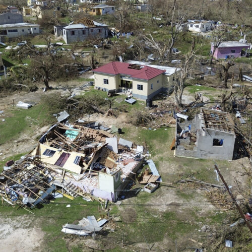
The years 2023 and 2024 were the warmest on record, coinciding with a powerful Pacific climate event known as El Niño. El Niño is the warm phase of a natural climate cycle in which surface waters in the eastern Pacific are unusually warm, bringing record-breaking heatwaves in the Amazon and heavy rainfall in the southern USA. Its counterpart, La Niña, is the cool phase that brings wetter conditions to the Northern USA.
In a typical El Niño, warm water in the eastern Pacific weakens the winds blowing westward across the tropical Pacific, known as trade winds, allowing more warm water to flow eastward – a self-reinforcing cycle that amplifies the event. However, the 2023 El Niño differed because the ocean warmed intensely, but the trade winds remained strong. Researchers from the Scripps Institution of Oceanography, led by Qihua Peng and Shang-Ping Xie, recently investigated how and why this unusual event occurred.
First, the researchers tracked how air pressures changed across the Pacific during the event using a metric calculated by NOAA, known as the Southern Oscillation Index. When the eastern Pacific warms during an El Niño, the difference in air pressure across the Pacific typically decreases. In 2023, they found that temperatures in the eastern Pacific rose to more than 3°F (2°C) above normal, yet the drop in air pressure was only about 31% as strong as they expected. They also calculated that changes in wind speed and direction could only account for about 30% of the warming. So why was the 2023 El Niño so strong?
To answer this question, the research team then looked beyond the Pacific, analyzing sea surface temperatures from NOAA satellite data. They found that the North Atlantic and Indian Oceans also experienced record-breaking heat in 2023, with temperatures in the North Atlantic exceeding 2°F (1°C) above normal – the warmest in recent history. This suggested that El Niño events can develop in response to ocean conditions worldwide, not just those in the Pacific.
Next, the team used a computer program that simulates how the atmosphere responds to ocean temperatures, called the Community Atmosphere Model, to examine how heat from other oceans affects the Pacific. They found that heat in the North Atlantic and Indian Oceans generated large columns of hot air rising over those regions. This air cooled at high altitudes and then sank over the central Pacific, strengthening a large-scale loop of rising and sinking air that drives trade winds westward. Strengthening this circulation worked against El Niño by keeping trade winds blowing westward about 30% more strongly than Pacific warming alone would have. If the trade winds remained strong, why was the eastern Pacific so warm in 2023?
To answer this question, the researchers studied 3 consecutive La Niña years between 2020 and 2023, analyzing ocean temperature and sea level data from NOAA’s Global Ocean Data System. During those years, strengthened trade winds transported heat into the western Pacific. As the seawater got warmer, it expanded, a process known as thermal expansion. Over those 3 years, thermal expansion and constant wind created a “pile” of warm water in the western Pacific, which reached its highest level of stored heat since 1982. When the trade winds eventually relaxed as La Niña faded, this piled-up warm water surged eastward, setting the stage for the El Niño event.
To test whether this stored heat alone could drive an El Niño, the team used a computer program that models oceanic and atmospheric interactions, called a coupled general circulation model. They input observed ocean temperatures from April 1, 2023, when La Niña ended, but removed all wind changes after that date. Their model successfully reproduced 87% of the warming observed between June and December 2023, which suggested that trade winds contributed just 13%. Stored heat was carried eastward by massive underwater waves traveling along the equator. As these waves reached the Eastern Pacific, they pushed cold water deeper, allowing surface water to warm. The researchers concluded that this oceanic process drove the 2023 El Niño to develop without the usual wind-driven feedback.
The team suggested that in a warming world, large heat reservoirs in the western Pacific will likely become more common, leading to more frequent strong El Niños. However, because their analysis focused on a single event, it remains unclear how often El Niños develop through oceanic processes alone. Ultimately, their study showed that the ocean can be more than a passive partner in El Niño – it can be the driving force.
The post Why the 2023 El Niño broke records appeared first on Sciworthy.