C’est un coup de tonnerre dans le silence de l’espace. Les États-Unis viennent d’affirmer qu’ils disposent d’armes en orbite. Une annonce qui fait immédiatement réagir la Russie et la Chine. Mais de quoi s’agit-il et pourquoi cette annonce marque l’entrée dans une nouvelle ère.
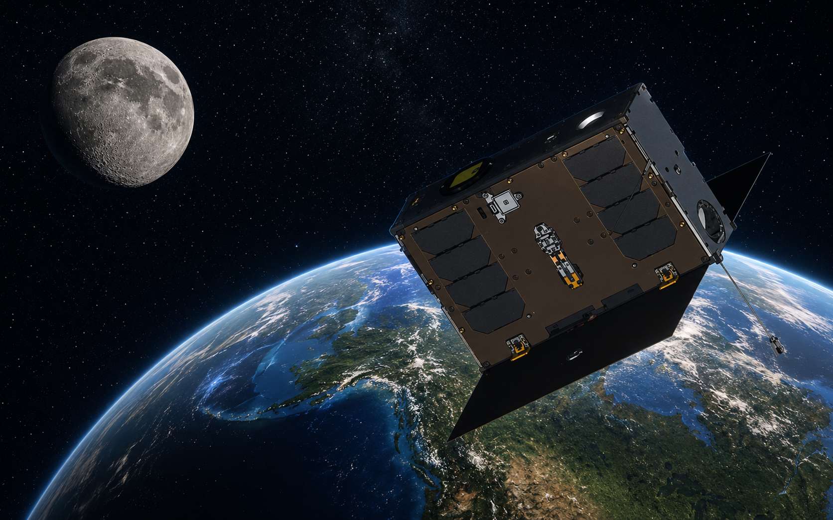
Mis en orbite en mars 2025, UVSQ-SAT NG a été développé au Latmos (Laboratoire Atmosphères et Observations spatiales – CNRS, Sorbonne Université, UVSQ), avec de nombreux partenaires académiques et industriels. Ce nanosatellite poursuit une démarche engagée avec les missions qui l’ont précédé :...
Troy E. Meink’s comments were the first public acknowledgment of American weapons in orbit. The Pentagon has been preparing for potential conflict in space with Russia or China.
The U.S. Space Force is opening up about its operation of orbital weapons, but not much beyond admitting that they exist.
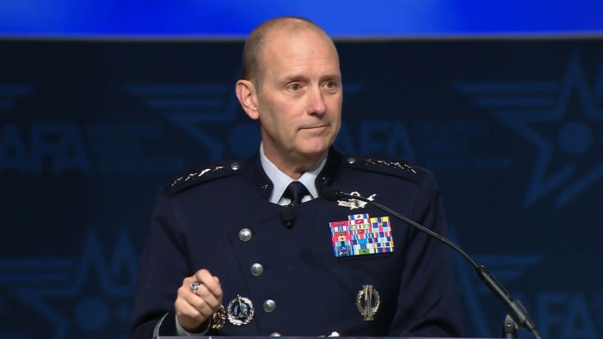
During a "State of the Space Force" address at the Air & Space Forces Association’s Air, Space & Cyber Conference in National Harbor, Maryland, on Tuesday (Sept. 15), Chief of Space Operations Gen. Douglas Schiess stated unequivocally that the Space Force uses active space-based weaponry to support United States national defense.
“Let me be crystal clear: Today, Guardians operate on-orbit weapons that can defend the joint force against space-enabled attacks,” Schiess said, referring to the official name for Space Force personnel.
Space is central to national security infrastructure and warfighting efforts, and serves a critical role in how the military communicates, navigates, conducts operations and tracks threats globally. It’s become an increasingly contested domain, with adversaries developing technologies designed to disrupt or destroy satellites in orbit as well as hypersonic weapons that challenge ground-based-only defenses.
Schiess didn’t specify what kind of weapons the U.S. operates in orbit, how many there are, or what exactly they do. But the revelation that the Space Force is operating those kinds of assets is by itself a pretty hefty admission. The news expands the known scope of U.S. military activity in the final frontier, which already included the use of satellites for GPS, communications, missile warnings and other targeting and intelligence operations.
“Space is both a battlefield and the backbone of our joint force,” Schiess said. “We face determined and credible adversaries who are building counter-space systems at incredible speeds to target directly the United States’ space advantage.”
The chief adversaries are China and Russia, experts have said. Both nations have developed a range of counterspace capabilities intended to threaten or interfere with other satellites, including through electronic warfare and anti-satellite (ASAT) systems. Russia demonstrated as much in 2021, when it destroyed one of its own spacecraft with an ASAT missile, which created a cloud of more than 1,500 pieces of orbital debris.
The U.S. has been rapidly expanding its own military presence in orbit over the past decade or so, and is ramping up those efforts even more with plans for the implementation of President Trump’s Golden Dome missile interception system. In the last year alone, the Space Force has awarded more than $12 billion in major contracts to companies like SpaceX, Rocket Lab, L3Harris and Boeing for a wide range of services, including national security launches, space-based tracking satellites and other defense technologies.
Schiess pointed to the Victus Haze mission as an example of how the Space Force is getting ready to react to orbital threats on short notice. Rocket Lab carried out Victus Haze in June, launching an Electron rocket and interceptor spacecraft within just 17 hours of receiving notice from the Space Force, setting a launch turnaround record.
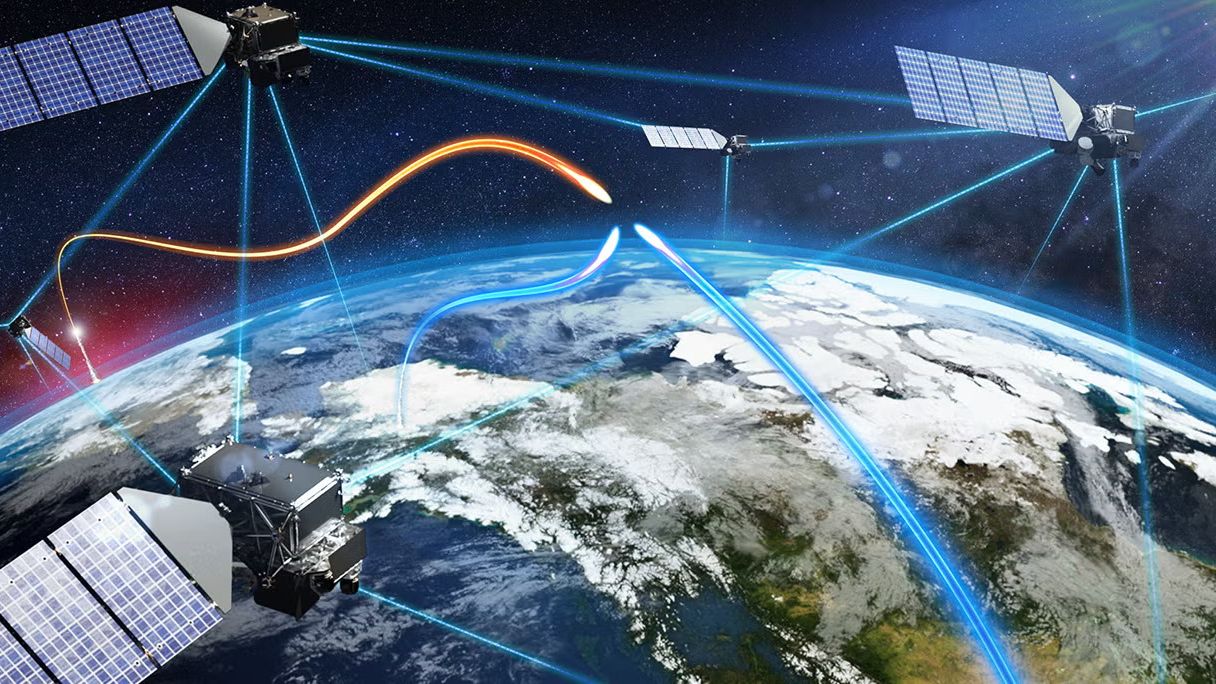
Illustration of part of a Golden Dome satellite constellation. (Image credit: L3Harris)
Schiess also highlighted the Space Force’s critical role in Operation Epic Fury and the ongoing engagement of U.S. military forces in Iran. “Guardians are not supporting from the sidelines as a nice-to-have, but we are delivering space power directly into the fight as a need-to-have,” he said. Schiess even gave an anecdotal example of the actions of one Guardian, “Specialist Gray,” in the heat of battle.
“Even as alarm red sirens were blaring and incoming missiles targeted her site, she courageously held the line, protecting forces, denying adversary capability, and delivering space effects until her commander had to literally pull her from the console to safety,” Schiess said.
Schiess described her operations before she was pulled from that console, giving some clue as to what exactly is meant by “on-orbit weapons.”
He said the Guardian in question needed to “reconfigure her weapon system and execute critical non-kinetic fires,” and went on to add, “She locked onto the target, optimized her weapon system and waged electromagnetic warfare against a determined adversary.”
Those descriptions offer at least some clues about the technologies involved. Phrases like “electromagnetic warfare” and “non-kinetic” could point to signal jamming technology or other non-physical means of disrupting a target.
Schiess said the Space Force intends to continue expanding its combat power with more robust architectures and the ability to respond with increasing speed to evolving threats. That proliferation on behalf of Golden Dome and other national security programs stands to deliver substantially more military hardware into orbit in the coming years, but Schiess framed the buildup around the prevention of conflict, rather than its provocation.
For decades, researchers have been monitoring armed conflict around the world by analyzing news reports and collecting oral testimonies. This approach, while valuable, has its limitations. A new study suggests that a satellite's view from above might fill the gaps in our understanding of the grim realities of war.
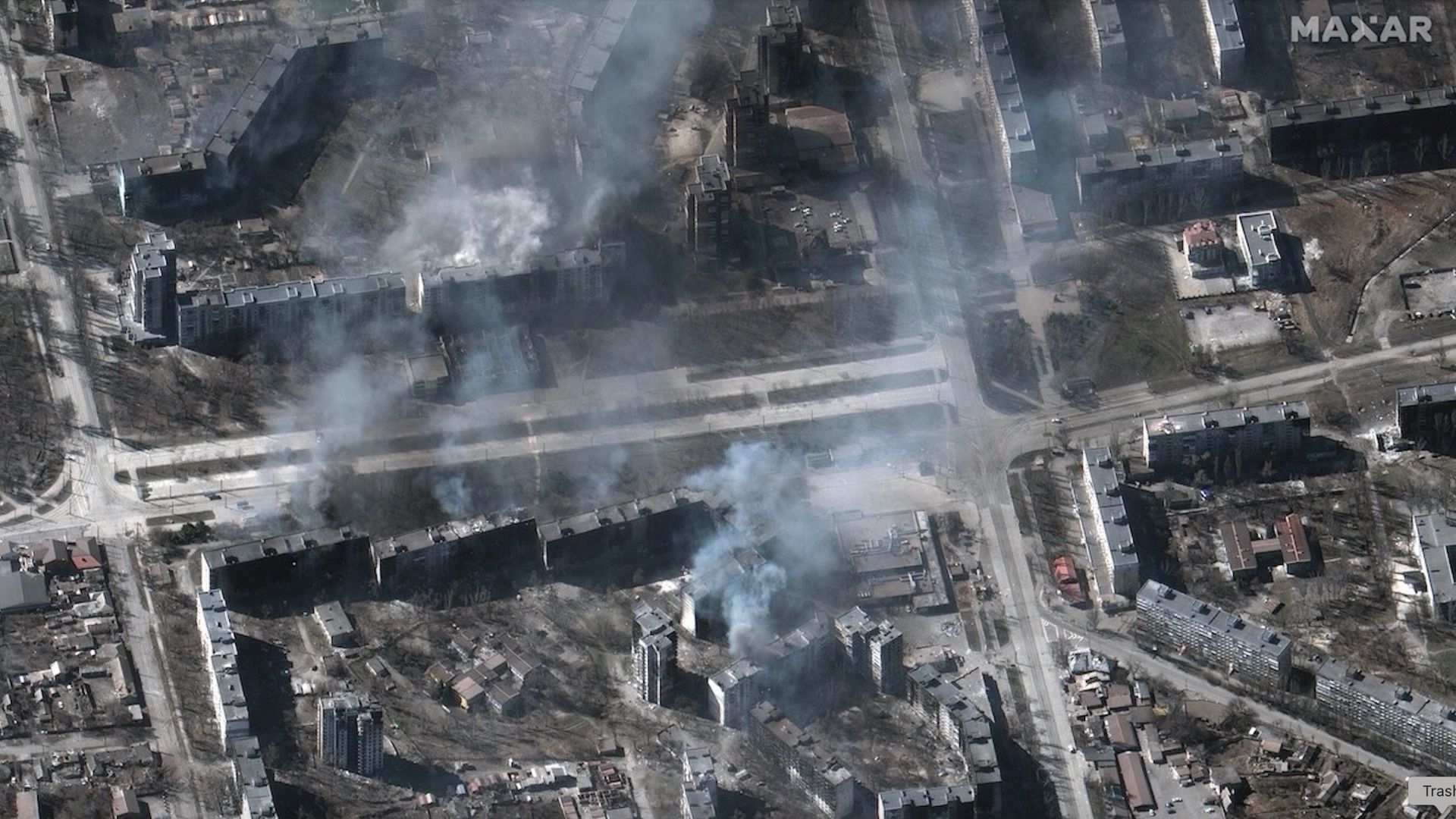
In 2017, the Myanmar Army murdered several hundred Muslim Rohingya civilians in the village of Chut Pyin near the country's western coast. Reports of the massacre in the settlement of about 2,000 reached the world through the testimonies of survivors who fled to neighboring Bangladesh. The massacre was part of a years-long campaign of brutality against the Muslim minority conducted by the Buddhist-run state. Satellite data later showed that houses in the predominantly Rohingya neighborhood were burned down by the Myanmar military during the atrocity, providing undeniable proof that the ethnic minority was targeted.
The incident is one of many demonstrating the advantage of adding views from space into conflict research, study lead author Valerie Sticher, a political science researcher at the University of Zurich in Switzerland, told Space.com.
"We have huge data sets about wars around the world going back 40 years," Sticher said. "But those datasets are based mostly on media reports. And these reports are not always available and not always reliable. Media can have biases and often focus only on certain types of violence."
For example, human reporters are more likely to focus on the numbers of people killed rather than the number of houses destroyed, she said. Satellites, on the other hand, provide a broad sweep over vast areas of land and, crucially, revisit the same location repeatedly. They can reveal patterns in conflicts and trends that could otherwise go undetected, while providing an overview of areas controlled by authoritarian regimes.
The researchers are now developing a methodology to integrate satellite observations into conflict research and create automated image analysis pipelines that would generate early warnings and alert the world to what's happening on the ground.
"Automated satellite data analysis would allow us to respond faster," said Sticher. "For example, in Myanmar, the area affected by ethnic cleansing was closed to independent journalists and investigators. Satellite data was the earliest reliable information to reach the outside world."
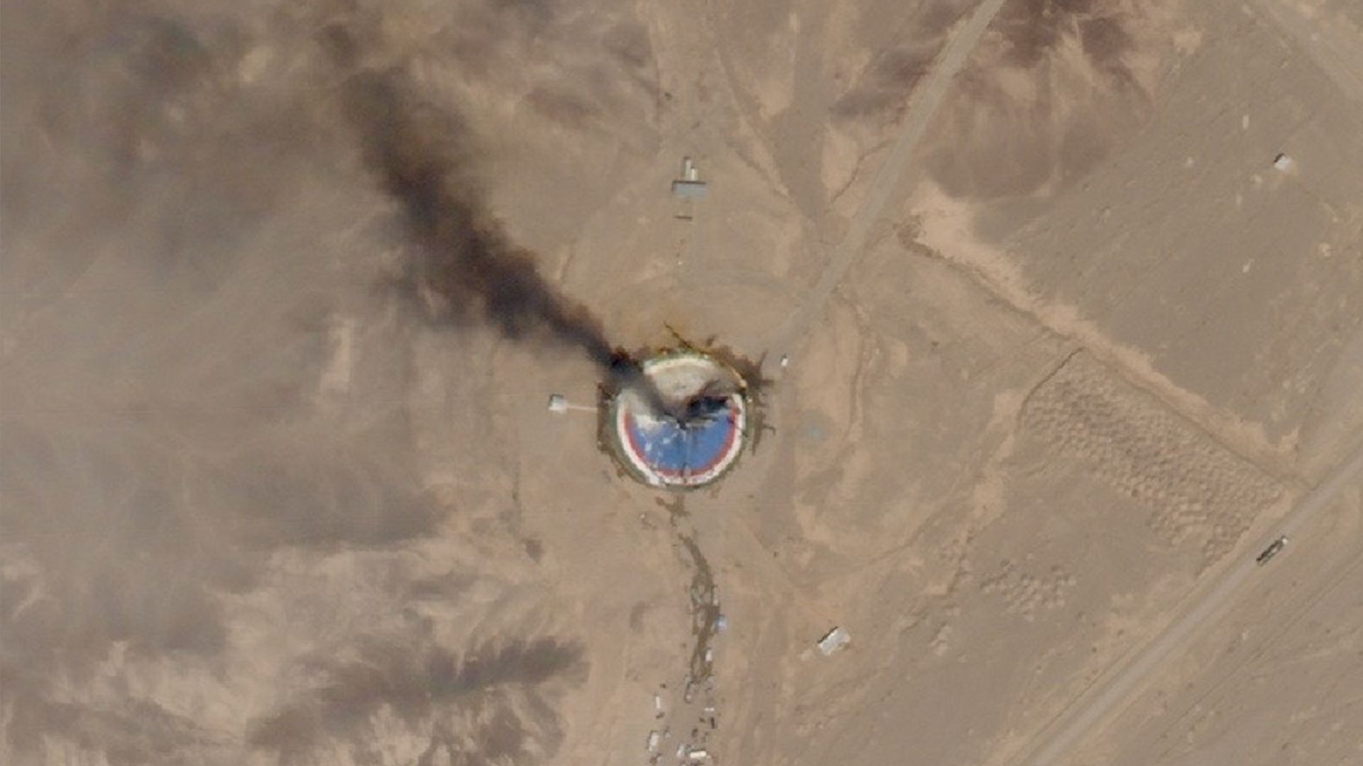
A SkySat Earth-observation satellite operated by the California company Planet spotted the wreckage of a failed launch out of Iran's Imam Khomeini Space Center on Aug. 29, 2019. (Image credit: Planet Labs, Inc.)
Hannes Mueller, a conflict researcher at the Spanish National Research Council, said that totalitarian governments can be very good at preventing information about atrocities from reaching the world. However, they can hardly fool satellites.
"In Myanmar, for example, when the military clears villages, they frequently kill everybody in those villages," he said. "Then you don't have any eyewitnesses for you to find out what's going on. But they usually also destroy the entire village, and so the violence leaves a mark from space."
Mueller was not involved in the new study but has used satellites in his work since the conflict in Syria in the early 2010s. He lauds the new paper for trying to "plot the road" for a more systematic integration of satellite data into conflict-monitoring data sets.
"Imagine we could generate a data stack of the entire world of all housing destruction since 2020 without any gaps in it," he said. "That would be a complete breakthrough!"
But satellites, too, have their limitations, he said. Currently, spacecraft must be tasked to take images and beam them to Earth. Because of the limited download availability, they can't image every spot they fly over, meaning they usually only reveal the aftermath of catastrophic incidents. For example, the Syrian city of Homs only became the focus of satellite imaging campaigns after the Syrian military attacked it with heavy artillery to suppress pro-democracy protests.
"There are no images of Homs before it got attacked," said Mueller. "There is no archival data of the city from before. Then, after the attack, you suddenly get lots."
In the future, onboard AI image processing — which some of the commercial satellite Earth-observation companies have already rolled out — might solve the problem. Machine learning algorithms running on computers on board the satellites will be able to detect incidents of potential interest and autonomously select significant images to send to the ground.
But there are other concerns. Just as authoritarian regimes can deny access to warzones to independent journalists, governments can order Earth-observation companies to restrict access to images of specific areas. In fact, the U.S. government did just that earlier this year when it ordered American commercial Earth-observation providers like Planet Labs to stop releasing high-resolution images of the Gulf of Oman and the Strait of Hormuz amid the escalating conflict in the region. The U.S also asked Europe to delay releasing images of that region captured by the European Sentinel satellites by 24 hours.
"With that, we are back to the same biases that we have with the news reporting," Mueller said. "We need to think about infrastructure that would provide us with transparency. That would really be a revolution in conflict research."
The new study was published in the journal Nature on Sept. 9.
A pair of private spacecraft just showed off some impressive maneuverability high above Earth.
The two probes — Mira satellites operated by the California startup Impulse Space — zoomed within 650 feet (200 meters) of each other in low Earth orbit (LEO) recently. The rendezvous demonstrated skills that could be useful to a variety of customers down the road, according to the company.
"These types of dynamic, agile maneuvers are how we unlock full access to space after launch and create new mission possibilities," Tom Mueller, CEO and founder of Impulse Space (and, prior to that, the first person Elon Musk ever hired at SpaceX), said in a statement on Tuesday (Sept. 8). "Our teams that design, build and operate Mira are leading the way toward a true space age, and customers across all sectors will be the beneficiaries."
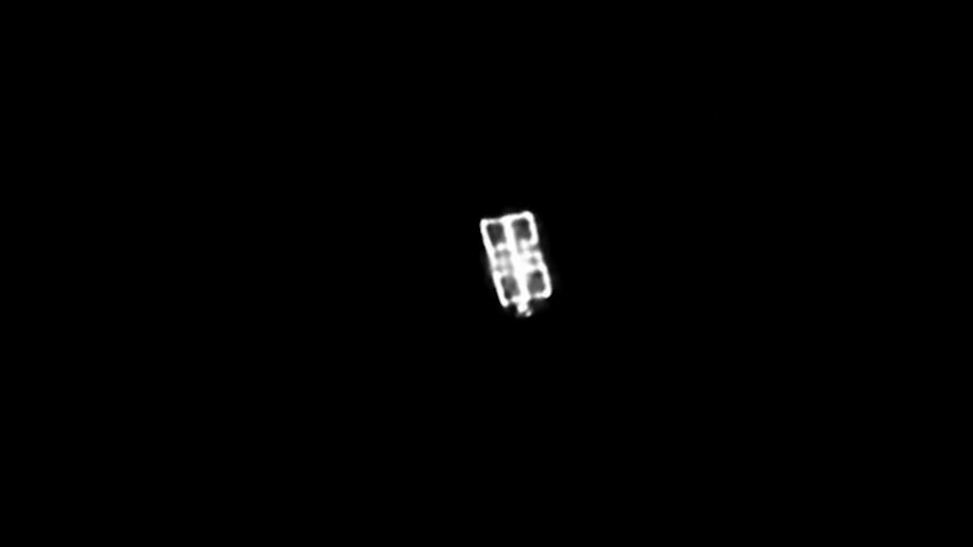
The LEO-3 Mira vehicle, taken from a distance of approximately 700 meters (2,300 feet) by a camera onboard LEO-2. (Image credit: Starfish Space/Impulse Space)
Mira is an orbital transfer vehicle — a spacecraft designed to deliver customer payloads to precise locations in Earth orbit or beyond. The dishwasher-sized Mira can carry up to 660 pounds (300 kilograms) of gear and is highly maneuverable, as the recent rendezvous showed.
The operation involved Mira satellites that launched in January 2025 and November 2025, on missions that Impulse calls LEO Express 2 (LEO-2) and LEO Express 3 (LEO-3), respectively.
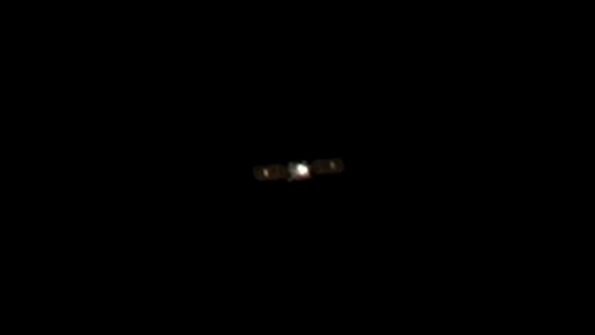
Impulse Space's LEO-2 Mira vehicle, as seen from a telescope onboard LEO-3 from a distance of approximately 5,000 meters (16,400 feet). (Image credit: HEO/Impulse Space)
The action began this past February, when the LEO-2 Mira conducted a lengthy engine burn to close in on its counterpart. LEO-2 performed additional, smaller burns throughout the spring and summer, coming into orbital alignment with LEO-3.
"Then in July, LEO-2 executed a series of close approaches to LEO-3, starting at about 820 meters [2,690 feet] apart and subsequently moving closer to LEO-3," Impulse Space wrote in the Tuesday update. "Ultimately, for the closest approach, LEO-2 maneuvered to within about 200 meters of LEO-3."
Both Miras chronicled the rendezvous, snapping photos of each other with onboard camera gear. Two other companies, Starfish Space and HEO, worked with Impulse Space to pull off this orbital photo shoot.
Two Miras — less than 200 meters apart! Our LEO Express 2 and LEO Express 3 spacecraft recently met for a family reunion in orbit, following a series of carefully coordinated maneuvers that brought the two vehicles within approximately two football fields of each other.The… pic.twitter.com/XoHgOzjuaLSeptember 8, 2026
Impulse has worked with Starfish before. The duo collaborated late last year on a rendezvous between LEO-2 and the first space-flown Mira, which launched on the Leo Express 1 mission in November 2023.
On that operation, called Remora, LEO 2 used Starfish Space navigation software to get within 4,100 feet (1,250 m) of LEO 1.
"We're showcasing some of the advanced capabilities that set Mira apart from other vehicles," Drew Damon, vice president of spacecraft programs at Impulse, said in Tuesday's statement. "Twice now, we've demonstrated that Mira has the agility and propulsion to support a new class of dynamic operations on orbit, and our team is excited to continue tackling the mission sets Mira is uniquely qualified to handle."
Impulse is not alone in developing and demonstrating orbital maneuverability. Such skills are a key priority of national governments, which want to service and upgrade their own satellites — and keep tabs on the activities of adversary craft. For example, earlier this year, two Russian spacecraft got within a mere 10 feet (3 m) of each other high above Earth.

 Login