❌

Reading view

Colorful 'painting-like' ripples cover an ancient seafloor structure the Bahamas — Earth from space

QUICK FACTS

Where is it? Great Bahama Bank, Bahamas [23.547188707, -76.46352937]

What's in the photo? Submerged sandbanks and seagrass beds in shallow water

Which satellite took the photo? Landsat 8

When was it taken? Feb. 15, 2020

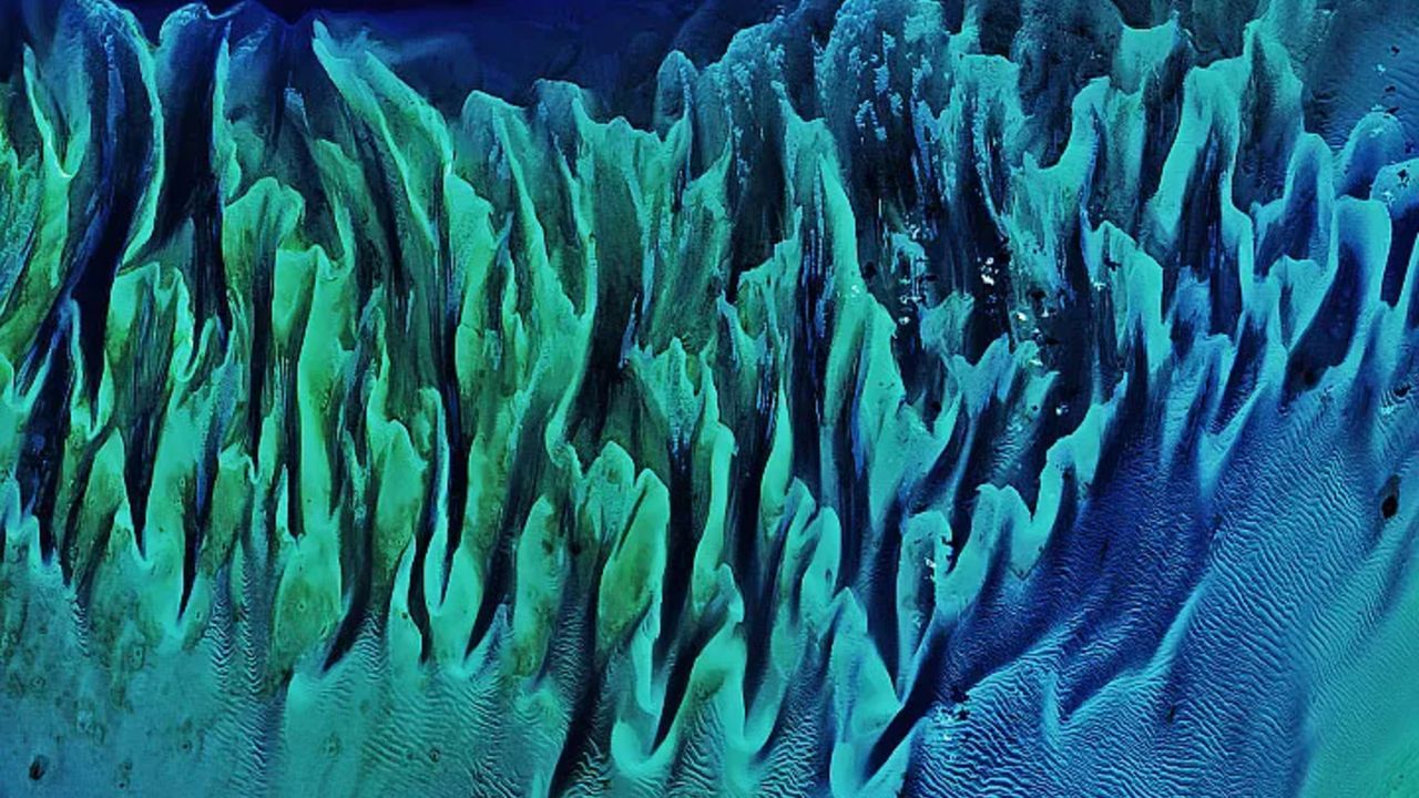
This ethereal satellite snap shows beautiful, "painting-like" folds within an ancient underwater structure in the Bahamas.

The Great Bahama Bank (GBB) is a massive submerged platform stretching around 330 miles (530 kilometers) across a shallow ocean channel between Andros Island and the Exuma islands, according to Britannica. The crescent-shaped bank surrounds a darkly colored ocean drop-off known as "The Tongue of the Ocean," which plunges to depths of 6,500 feet (2,000 meters), according to NASA's Earth Observatory.

The photographed section of the GBB is around 23 miles (37 km) across and features a series of submerged sandbanks — most of which are covered with dense seagrass beds — that lie between 7 and 40 feet (2 to 12 m) below the ocean's surface.

The varying water depth and seagrass concentration cause multiple hues of green and blue to shine across the sandbanks, which have been carved into smooth, folding ribbons by ocean currents over thousands of years.

"The varying colors and curves remind us of graceful strokes on a painting," Earth Observatory representatives wrote.
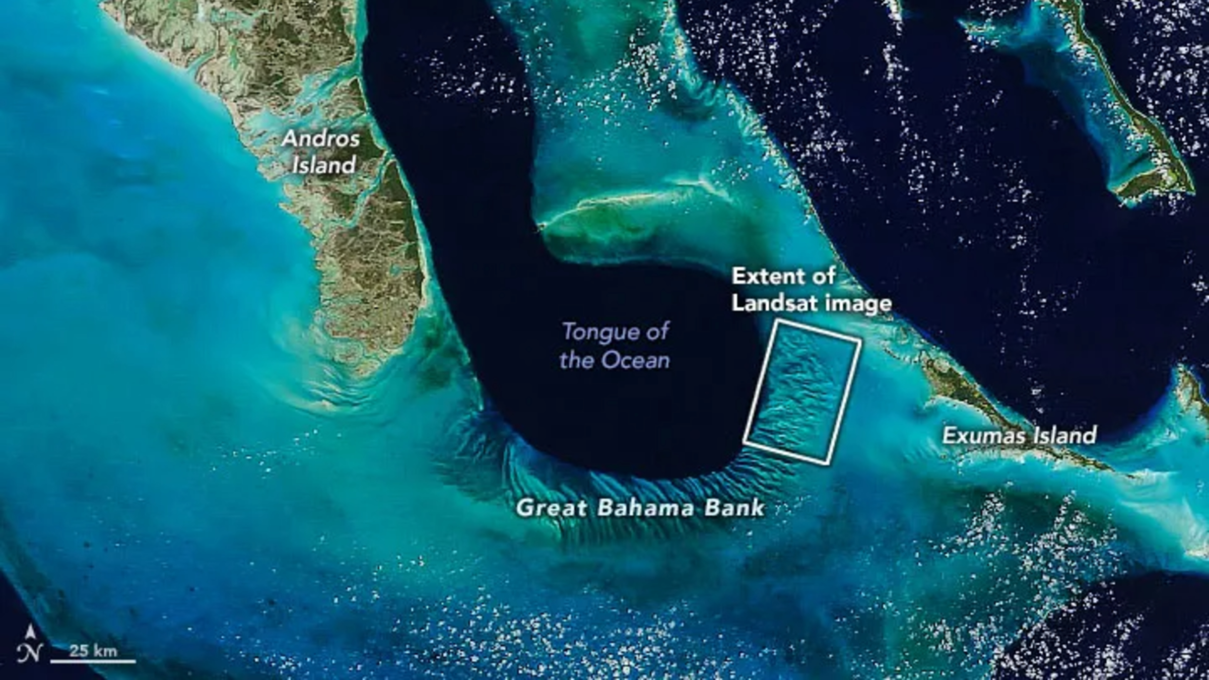
A zoomed out satellite photo showing the Great Bahama Bank's location relative to other islands and the

The Great Bahama Bank is a crescent-shaped structure spanning around 330 miles (530 kilometers) between Andros Island and the Exuma islands. (Image credit: NASA/Landsat)

This section of the GBB was first photographed in 2001 by the Landsat 7 satellite and has often appeared on lists of the most iconic aerial images of our planet.

"There are many nice seagrass and sand patterns worldwide, but none like this anywhere on Earth," Serge Andréfouet, an oceanographer at the French National Research Institute for Sustainable Development who first shared the 2001 image, told the Earth Observatory. "I am not surprised it is still a favorite, especially for people who see it for the first time."

The sandbanks are like giant underwater dunes carved out by ocean currents.

"Tides and ocean currents in the Bahamas sculpted the sand and seaweed beds into these multicolored, fluted patterns in much the same way that winds sculpted the vast sand dunes in the Sahara Desert," Earth Observatory representatives wrote in 2001.

The GBB lies atop a roughly 3-mile-thick (5 km) bed of limestone dating to the age of the dinosaurs, more than 65 million years ago. This hefty mass, made up of the remains of long-dead coral reefs, is so large that Earth's crust directly below the GBB has "sagged under the weight," according to the University of Texas at Austin's Marine Science Institute.
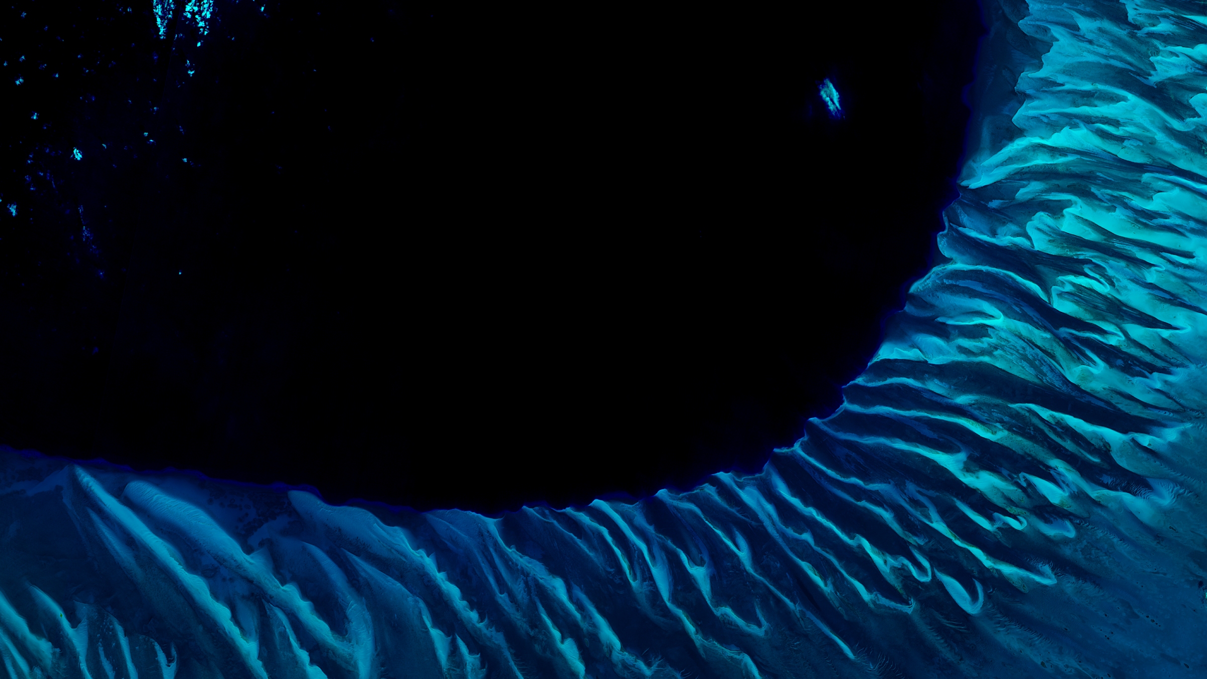
A satellite photo of the Great Bahama bank showing the point where it drops off into the dark

The Great Bahama Bank surrounds the edge of a deep sea drop-off known as the "Tongue of the Ocean," creating a striking contrast when viewed from above. (Image credit: USGS/ESA)

Before the end of the last ice age, around 12,000 years ago, this limestone slab had risen to more than 400 feet (120 m) above sea level and only resubmerged as global sea levels rose due to the melting of glaciers, according to the Marine Science Institute.

The Bahamas has more than 3,000 islands and smaller cays and is home to several other intriguing oceanographic features, including deep tidal channels off the coast of Great Exuma Island (which once harbored famous pirate ships) and a series of aurora-like sandbanks that appear to shine along the nation's northernmost islands.

See more Earth from space
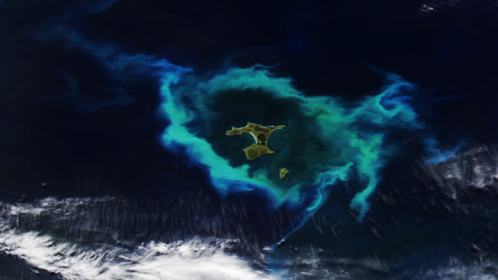
A satellite photo showing a group of islands in the Pacific Ocean with a glowing green ring of algae surrounding themGlowing ring of algae in New Zealand

A 2026 satellite photo captured a gleaming halo of phytoplankton encircling the remote Chatham Islands. The stunning sight is the result of a hidden underwater structure, which has also helped kill hundreds of cetaceans.
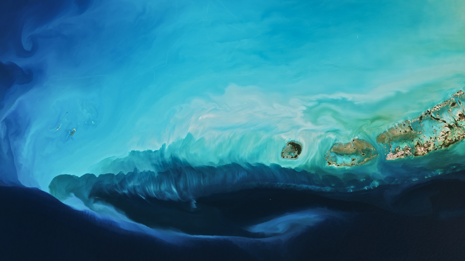
A beautiful light blue plume swirling in the sea off Key West'Arctic blast' paints plume in Florida

A 2026 satellite photo captured a stunning scene of sediment swirling across the West Florida Shelf after an extreme cold snap that covered large parts of the eastern U.S. in snow.

A satellite photo of a whale shaped island with a yellow circle highlighting to location of the Great Blue HoleWhale-shaped island in Belize

A 2020 astronaut photo shows the unusual cetacean-like shape of Belize's Lighthouse Reef. It's home to the famous Great Blue Hole, which doubles as the island's "blowhole" when viewed from space.
  •  

First experiment to thicken Arctic ice with seawater shows promise — but there's a big catch

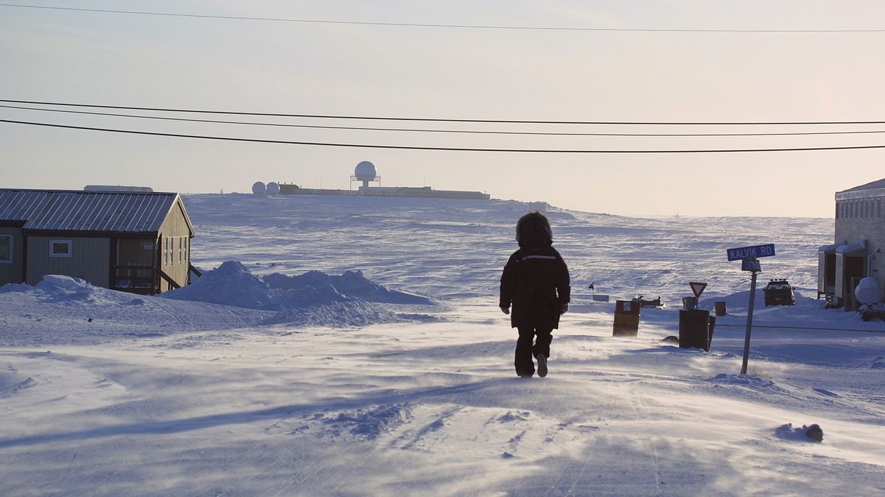
A simple method to thicken Arctic sea ice has shown promising results in its very first field experiment, performed in Cambridge Bay, Nunavut, Canada.

Researchers are considering several controversial geoengineering techniques to slow the catastrophic melt of Arctic sea ice, including stratospheric aerosol injection, which involves shooting tiny sulfur particles into the sky to blot out the sun. But in a new study, scientists evaluated the merits of a much safer and more straightforward approach: pumping seawater onto existing sea ice in winter and letting it freeze into a reinforcing layer.

Known as sea ice thickening, this method has been used by Nordic and Arctic communities for decades, and ice hockey rinks employ a similar technique to keep their ice sturdy, two of the study's authors told Live Science in an email.

"Practical applications [that already exist] include building ice roads and creating platforms for offshore oil exploration," said Edward Blanchard-Wrigglesworth, a research associate professor in the University of Washington's Department of Atmospheric Sciences, and Andrea Ceccolini, an honorary professor at University College London and the CEO of the startup Real Ice, which studies artificial sea ice thickening methods and receives funding from the U.K. government.

Modeling work hints that sea ice thickening could become a climate adaptation tool for Arctic communities by limiting coastal erosion near towns, facilitating travel and supporting animal migrations and hunting.

Now, researchers have assessed the method's efficacy in the field for the first time. Their results, published May 22 in the journal Earth's Future, indicate that both the thickness and brightness of sea ice can be enhanced significantly on small scales — making the ice more reflective, and therefore more resilient to melting.

In the experiment, the team set up eight test areas and three control sites in Cambridge Bay during the winter of 2024 to 2025. Using submersible pumps that each consume less power than a toaster, they flooded the test areas either once or twice with up to 8 inches (20 centimeters) of seawater, while the control sites were never flooded. In spring, one control site was used for a melt pond drainage experiment, which involved drilling small holes in the ice to remove meltwater and expose the brighter ice underneath.

Overall, the test areas grew up to 12.6 inches (32 cm) thicker than the control sites by the end of winter, which is roughly equivalent to the ice thinning that has happened in the Arctic over the past 50 years, according to the study. Test areas that were flooded twice showed greater thickening than those flooded once. And in the melt period from late May to September, sea ice in the test areas appeared brighter and had slower melt rates, remaining thicker than the ice in the control sites. The melt pond drainage experiment also resulted in brighter sea ice than the other control sites.

When water is pumped onto sea ice, it saturates the snow that sits on top of the ice. "The snow-water mixture freezes into a new layer of ice, while the reduction in snow insulation allows colder atmospheric temperatures to accelerate natural ice growth from below," Blanchard-Wrigglesworth and Ceccolini explained.

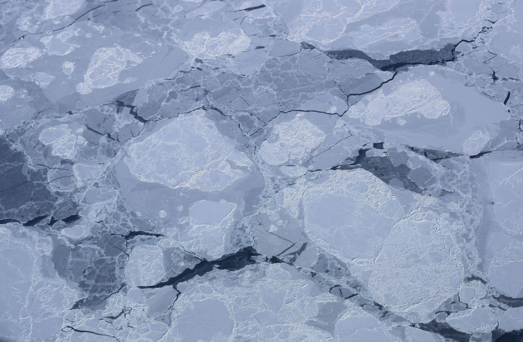
Sea ice seen from a NASA aircraft.

Sea ice thickening could boost the amount of sunlight that is reflected back to space in the Arctic, thus cooling the region. (Image credit: Mario Tama/Getty Images)

Thicker sea ice is usually brighter than thin sea ice, which boosts the amount of sunlight that is reflected back into space. "The broader implication is that these effects could enhance the Arctic's reflectivity through both increased surface brightness and longer-lasting sea ice," the researchers said. "If similar results could eventually be achieved at larger scales, increased Arctic albedo could contribute to regional cooling, with potential knock-on benefits such as slowing permafrost thaw and reducing ice loss from Greenland."

However, there is still a big question mark over how scalable and economically viable sea ice thickening is, given that it requires people and machines working in the field. According to a 2016 study, 10 million wind-powered pumps would be needed to cover just 10% of the Arctic Ocean, and 100 million to cover the entire Arctic. "It is reasonable to ask whether such an endeavor is financially feasible or even logistically possible," the authors of that study wrote.

Yearly sea ice extent in the Arctic has shrunk by 20% since 1979, and this loss is accelerating with global warming. Therefore, if we want Arctic sea ice thickening to work at a large scale, "the pumps must be deployed almost immediately, while there is still a sufficient area of sea ice over which to flood," researchers wrote in a 2021 study.

The ecological and social impacts of Arctic sea ice thickening are not well understood, and further research will delay deployment, meaning it might be too late to roll out sea ice thickening by the time scientists have the data they need to ensure its safety and feasibility.

For these reasons and others, including governance issues and high maintenance needs, "sea-ice thickening is simply not feasible for use at a scale and at a rate that would be meaningful for sea ice protection," researchers wrote in a review published last year.

Deployment on anything but local scales would be challenging, Blanchard-Wrigglesworth and Ceccolini agreed. Nevertheless, the researchers said their most recent winter trials, which have yet to be published, showed encouraging results. In those trials, the sea ice in test areas grew 20 inches (50 cm) thicker than in control sites, The Guardian reported.

"We expect to have a clearer picture once the current melt season is complete," the researchers told Live Science. "In parallel, we are developing underwater robotic technology that could support autonomous deployments. Earlier this year, we conducted the first Arctic field tests of a prototype re-icing drone in Finland."

The drone is currently being refined in collaboration with the BioRobotics Institute in Pisa, Italy, according to The Guardian.

  •  

'Uncharted territory': Record high ocean temperatures confirmed for June as El Niño strengthens its grip

June global sea surface temperatures have climbed to record highs, prompting concerns over extreme weather, flooding, sea level rise and stress to global ocean ecosystems.

The record, announced by the European Union's Copernicus Earth observation program on July 1, surpassed the previous record set in June 2024, with experts warning that more temperature records will likely be set over the coming months.

"Current conditions could indicate the beginning of a new phase, leading, once more, to uncharted territory," Carlo Buontempo, director of the Copernicus Climate Change Service at the European Centre for Medium-Range Weather Forecasts (ECMWF), said in a statement. "With ocean temperatures at these levels and El Niño on the horizon, we are likely to see more temperature records fall in the coming months.”

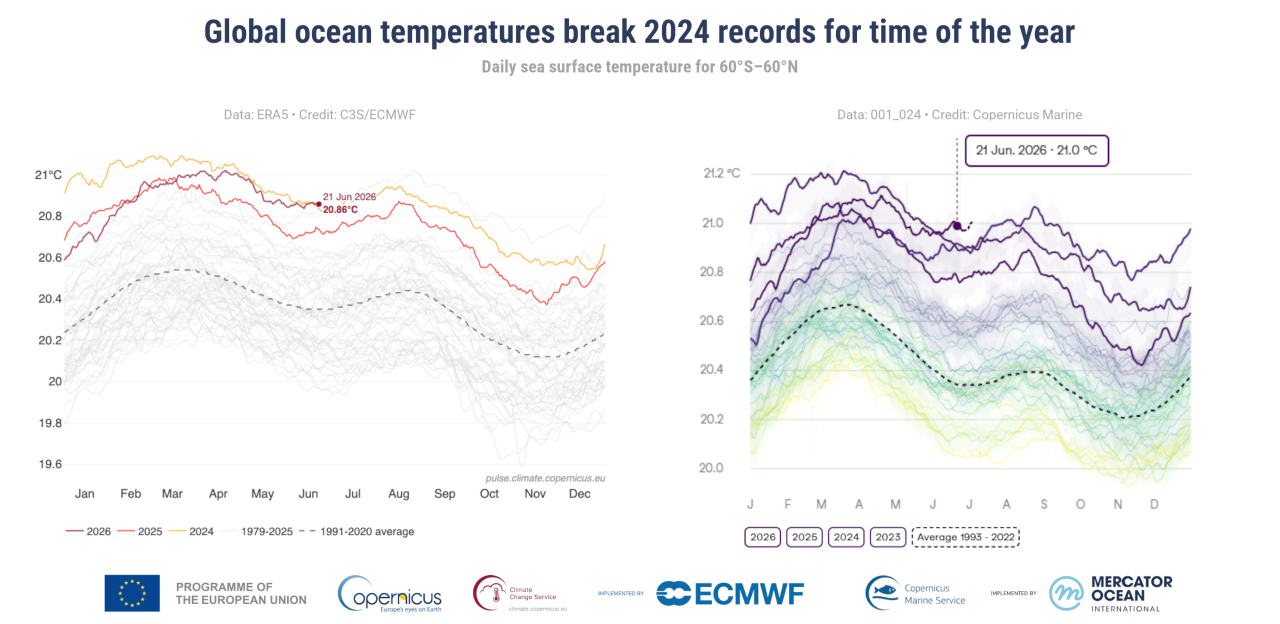
The record temperature was set on June 21, when the Copernicus Climate Change Service recorded global ocean surface temperatures of 20.86 degrees Celsius (69.55 degrees Fahrenheit), beating the record temperature of 20.83 C (69.49 F) set in 2023 and 2024. This measurement was corroborated by the Copernicus Marine Service, an independent dataset that reported temperatures of 21.0 C (69.8 F).

Graphs to show increasing global sea surface temperatures

Graphs to show increasing global sea surface temperatures from two independent data sources (Image credit: Copernicus)

The recent sea surface heating did not occur evenly across the globe. In some areas, such as the Mediterranean, temperatures in June were up to 8 C (14.4 F) higher than average for the period from 1990 to 2020, as per data recorded on June 29, according to the European Space Agency.

The most significant rises in temperature were set in the Mediterranean, the Baltic Sea, bands across the Pacific and off the coasts of Northern Canada.

Warmer ocean temperatures have wide-ranging impacts. "Higher ocean temperatures keep the atmosphere warm for longer, provide extra energy to storms and increase evaporation, thus enhancing the potential for extreme precipitation and flooding," Copernicus Climate Change Service representatives said in the statement. "Ocean warming also contributes to sea level rise and ice melt, and stresses marine ecosystems."

According to data from the Copernicus Climate Change Service, the newly declared El Niño in the Pacific Ocean — the warm phase of a natural climate cycle. This El Niño is likely to reach levels that have not been seen in decades, with more temperature records expected to be set over the coming months as this Pacific heat is injected into an already warming world.

The service added that it remains to be seen whether these temperature spikes are temporary or indicative of longer term trends.

  •  

Study suggests life on Earth has around 1.8 billion years left — but the biosphere might evolve to survive even longer

Life on Earth could continue for another 1.8 billion years, according to new research. This figure, which is based on complex climate models, is far longer than many previous studies indicated.

As the sun evolves, it is getting brighter. Our star is currently producing about a third more energy than it did at the dawn of the solar system 4.5 billion years ago. And it will continue to get hotter until it eventually dies in about 5 billion years.

Scientists have wondered for decades how long life on Earth will manage to cling to existence as the sun brightens. In 1982, James Lovelock and colleagues estimated that Earth's photosynthetic biosphere — which includes all plants and forms the basis for most of the planet’s biology — would end about 100 million years from now. Successive studies have pushed back the deadline for the death of all life on Earth.

In the new study, published May 28 in the journal JGR Atmospheres, researchers suggest that plant life could continue about 1.8 billion years into the future. That nears the time when Earth would lose its oceans to space, either through radiation splitting water atoms or runaway evaporation, in about 2 billion years.

"We were trying to show that life on Earth — complex vegetation — could survive longer into the future than previous studies had shown," study co-author Jacob Haqq-Misra, an astrobiologist at space exploration charity Blue Marble Space, told Live Science.

The boundaries of life

Life on Earth relies on photosynthesis, the process used by plants, algae and some bacteria to turn sunlight into energy. The mechanism chemically converts carbon dioxide and water into sugars and oxygen. It requires both CO2 and sunlight.

But at certain temperatures, plants' photosynthetic machinery shuts down. Eventually, the sun will warm Earth to the point that plants are no longer able to photosynthesize, which would in turn cause entire food webs to collapse and all life to perish.

Another issue is that as the sun dies and it gets brighter, there will be less carbon dioxide in the atmosphere, effectively starving plants.

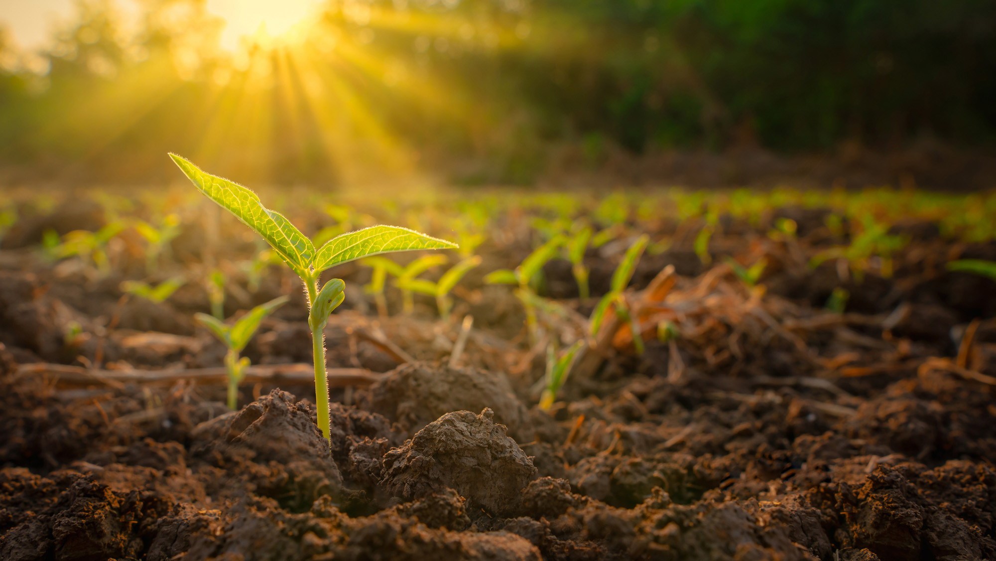
A series of small green sprouts in the midst of some dirt with sunshine in the distance

Plants turn sunlight into energy, but at certain temperatures this ability shuts down. (Image credit: lamyai via Getty Images)

"The Earth has stayed pretty hospitable in terms of surface temperature for most of the last 4 billion years because it has a built-in thermostat" by storing CO2 in rocks and releasing it during volcanic eruptions, Robert Graham, a planetary science researcher at the University of Chicago, who was not involved in the research, told Live science.

When it is hotter, the planet pulls more carbon dioxide out of the atmosphere and stores it in rocks underground, Graham said. This offsets the warming to keep the temperature stable but means that the carbon dioxide isn't accessible to plants.

Climate models and extreme plants

In the new study, Haqq-Misra and colleague Eric Wolf, a research scientist at Blue Marble Space, used 29 climate models to estimate what would happen to Earth's vegetative biosphere under different scenarios. They used the two extreme cases as limits — when Earth is too hot for life but the CO2 was stable; and when there is not enough CO2, but the temperature was stable. They then looked at the range of CO2 and sunlight conditions in between those extremes. This enabled them to include situations in which Earth was very efficient at pulling carbon from the atmosphere when temperatures started rising.

They also included information about a variety of plants. Some plants can survive on a much lower ratio of atmospheric CO2 than others. The study included plants that have a special photosynthetic process (known as crassulacean acid metabolism), such as succulents and orchids. These plants can sustain themselves on relatively tiny amounts of CO2. The same is true of some marine plants, which can dissolve and access carbon in the ocean system.

Other experts were impressed by the findings.

"Haqq-Misra and Wolf have used a sophisticated 3D climate model to show that Earth's climate may remain hospitable to plant life significantly longer into the future than predicted" by simpler models, said Graham, who authored one of those earlier studies. "It's an advance over previous work and suggests that complex biospheres like that of Earth are more resilient to environmental change from stellar brightening than previously suggested."

Looking to the future

Andrew Rushby, an astrobiologist at Birkbeck University of London who was not involved in the research, told Live Science that the paper updated the concept of the lifetime of the biosphere. However, he cautioned that the results remained "broad estimates."

"It is not possible for us to predict or know the possible evolutionary adaptations that the photosynthetic biosphere may undergo in response to increasing solar output and lower [atmospheric CO2], especially over billions of years," he said.

In their paper, the authors wrote that "limits posed by thermal stress or starvation may only reflect our observations of the biosphere today rather than hard limits on how the biosphere may evolve." There is also no way of knowing how life might adapt to new circumstances.

Haqq-Misra said that he found the results comforting. "Earth's system is resilient, and we are part of something that could have a much, much longer future," he said.

The results could also help scientists figure out what the thresholds could be on other planets. "Part of the challenge is starting with these Earth-based models, and then generalizing the physics as much as possible to be able to simulate a wider range of atmospheres," he said.

How much do you know about our blue planet? Test your terran knowledge with our Earth quiz!

  •  

66 billion trees have been planted in China's Great Green Wall — and they appear to be growing faster than natural forests

Trees in China that were planted as part of huge reforestation projects appear to grow faster than those in natural forests, a new study finds. This is possibly because the reforestation trees are responding more strongly to the rising atmospheric carbon dioxide, scientists say.

China is quickly turning green. The country has planted 66 billion trees since 1978, with plans for 34 billion more by the middle of this century, as part of its "Great Green Wall" to slow the spread of the Gobi and Taklamakan deserts.

These new forests absorb large amounts of CO2, but it is unclear exactly how they differ from natural ones, study first author Yuhang Luo, a landscape ecologist at Peking University in Shenzhen, China, told Live Science.

Luo and his colleagues set out to study how differences between natural and planted forests, including species diversity, tree density and age, might affect how the forests respond to rising CO2 and climate change.

"Planted forests are widely used in climate mitigation strategies, but most global ecosystem models do not distinguish between forest types or represent age-related dynamics adequately," Luo said. "So we felt it was important to clarify how these factors interact — not just for scientific understanding, but also for improving the models and assumptions that underpin real-world forest policy and carbon accounting."

Planted forests are those purposefully created by humans, such as those in the Great Green Wall. Natural forests, on the other hand, grow without human intervention.

The researchers used satellite data to track leaf area index, a measure of canopy density and a key driver of carbon uptake, to determine how fast the different forest types grew, and found a striking difference: Planted forests increased their leaf area 66% faster than natural ones.

Most of that difference was due to planted forests being, on average, much younger than the natural ones — and young trees grow faster than old ones. But even when comparing forests of similar age and growing conditions, the planted ones still grew 4.6% faster, and the difference was even more pronounced in mixed and evergreen forests.

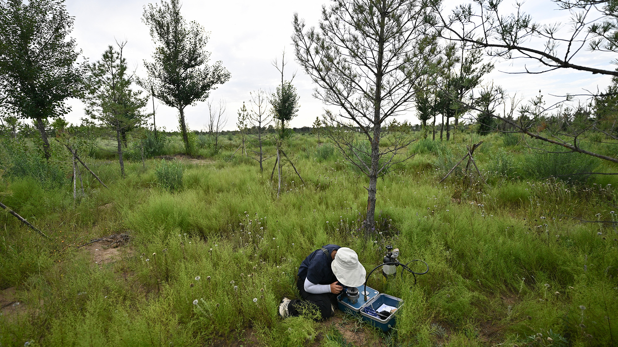
A person wearing a white hat bends over a box on the ground amidst several tall trees

A researcher working in the Great Green Wall in August 2025. So far, 66 million trees have been planted as part of the project. (Image credit: PEDRO PARDO via Getty Images)

This is largely due to how planted forests are managed. They tend to feature fast-growing species like eucalyptus and poplar and are often actively managed, with people removing competing vegetation and even fertilizing them. These interventions reduce competition for light, water, and nutrients, amplifying the fertilization effect of rising atmospheric CO2.

This discrepancy peaks in planted forests when trees are around 30 to 40 years old and then declines noticeably after age 40. In contrast, natural forests grow more slowly but steadily, so have an advantage over the long term.

"Planted forests can be a powerful short-term tool for carbon uptake, but this advantage is temporary," Luo said. "For long-term carbon storage and resilience, natural forests remain irreplaceable."

Kevin Dsouza, who worked on reforestation models during his postdoctoral research at the University of Waterloo and was not involved in the new study, said the results make intuitive sense, as the sprawling leaves of young, fast-growing trees could lead to increased carbon take-up. But he is not sure that leaf area is the best measurement for tracking growth and carbon sequestration.

"It's not a bad proxy, but it doesn't give you the full picture," he said. "The canopy is just the top of the tree and the carbon is stored in all sorts of different places like wood, bark, roots and soil."

Another study of Chinese forests found that natural forests actually accumulate more carbon above ground than planted ones in their early years, Dsouza pointed out, so these results should be considered carefully alongside other factors.

Luo said the findings show that most global climate models are missing something when it comes to understanding how various forest types play a role in carbon sequestration and climate change.

"Land use management works in more subtle and specific ways than we had assumed," he said. "It is not just about planting more trees. It is also about when you plant them, what species you choose, and how you manage them over time."

Luo hopes these findings will help guide reforestation efforts, to ensure we get the most benefit from planting new forests to help mitigate the effects of climate change.

"Our work offers a more practical guide for forest-based climate action: when to plant, what to plant, how long the benefits last, and what current models are getting wrong. We hope that helps people make better decisions," he said.

Editor's note: A picture caption in this article was corrected at 5:16 ET on July 1 to say 66 billion trees had been planted.

  •  

Shadowy tendrils of ancient lava have scarred a dark volcano next to a 'skull' in the Sahara — Earth from space

QUICK FACTS

Where is it? Toussidé volcano, Chad [21.03731548, 16.47357325]

What's in the photo? The petrified remains of ancient lava and a skull-like caldera

Who took the photo? An unnamed astronaut on board the International Space Station

When was it taken? Sept. 23, 2019

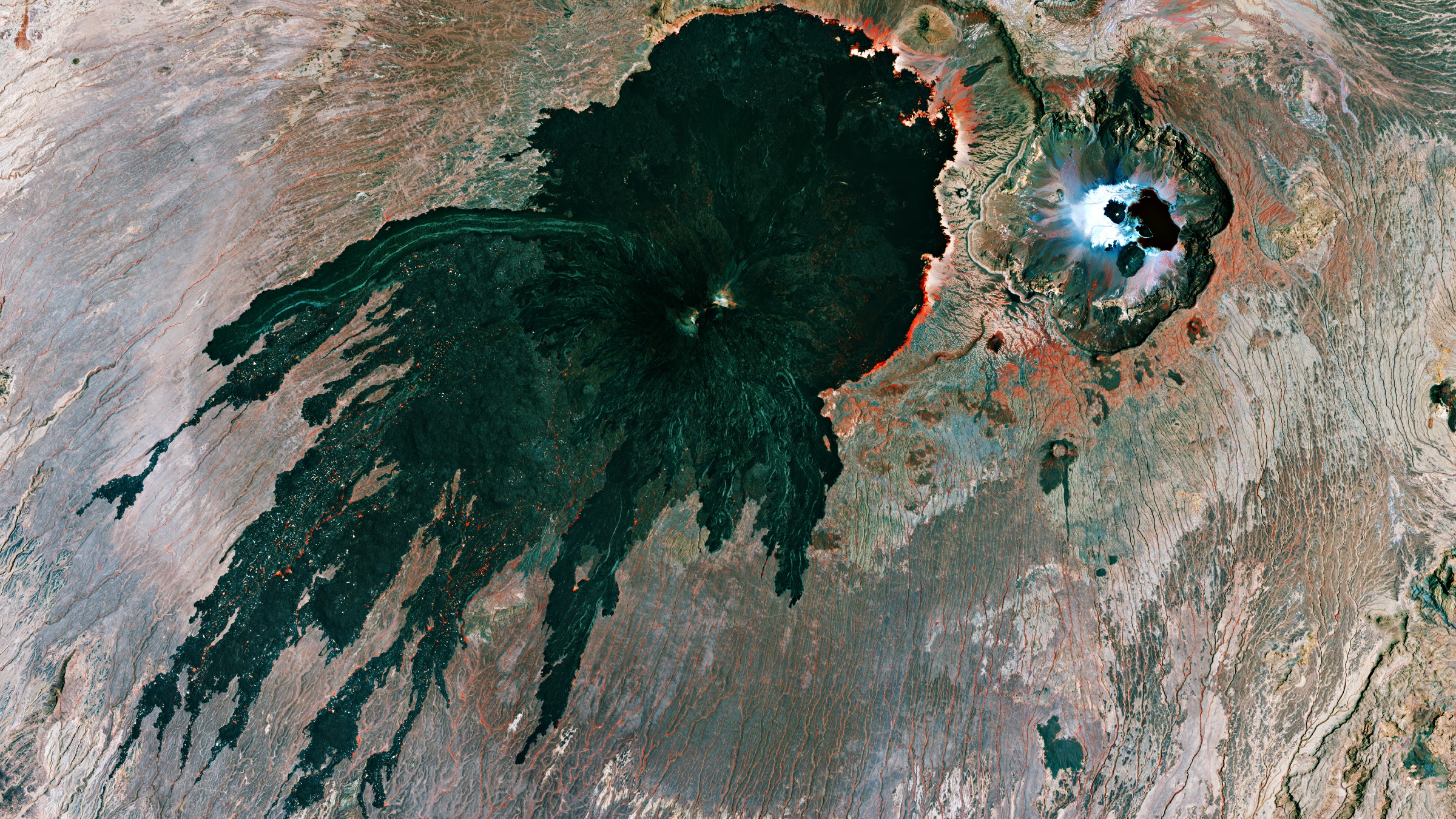
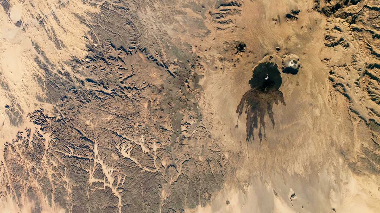
This eye-catching satellite snap shows off a sprawling mass of petrified lava surrounding the jet-black slopes of a potentially dangerous volcano in the heart of the Sahara. A smaller volcanic "skull" lurks near the shadowy peak's base.

Toussidé (also known as Tarso Toussidé) is a "potentially active" stratovolcano located within the Tibesti Mountains, which cover around 40,000 square miles (100,000 square kilometers) of northern Chad and southern Libya. The dark peak stands 10,712 feet (3,265 meters) above sea level, making it the second-tallest mountain in the Tibesti region.

The name Toussidé roughly translates to "which killed the local people with fire" in the language of the nearby Indigenous people, hinting at a destructive and deadly history. However, according to the Smithsonian Institution's Global Volcanism Program, there is no evidence that the volcano has erupted during the Holocene — the current geological epoch, which began around 12,000 years ago. It is unclear if it has actually killed anyone.

The dark blob surrounding the volcano is known as a massif. It is made up of layers of overlapping magmatic rock left by multiple ancient lava flows that effusively erupted, or slowly poured from, the volcano's summit.

The shadowy structure, which is up to 20 miles (32 kilometers) across at its widest point, stands out against the surrounding sand-covered plateau, which has been carved into a network of crisscrossing canyons by eons of wind blasting, according to NASA's Earth Observatory.

A close-up aerial shot of the massif and the Trou au Natron caldera

The massif surrounding Toussidé is made of overlapping lava flows. If you look closely at this image, you can see how they criss-cross over one another. The Trou au Natron caldera is also more clearly visible in this photo, which was captured by the European Space Agency's Copernicus satellite in September 2021. (Image credit: ESA/Copernicus)

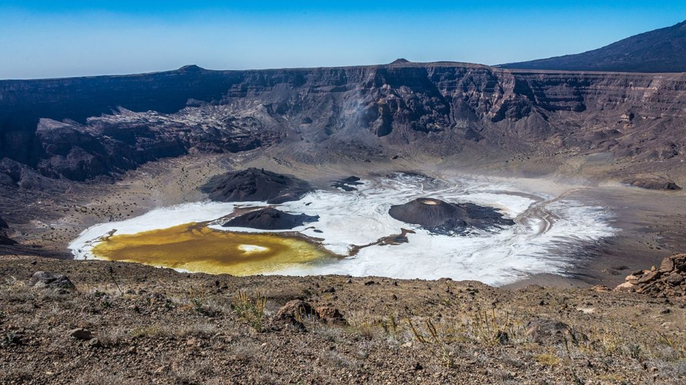
Just southeast of the massif (in the upper right of the photo), there is a small, white circle containing several dark patches. This is Trou au Natron — a roughly 3,300-foot-deep (1,000 m) volcanic crater, or caldera, which looks eerily like a giant skull when viewed directly from above.

The cranium-like caldera likely formed during an explosive eruption more than 120,000 years ago. It was once filled with a giant salt lake that was home to ancient algae and other microorganisms. When the lake dried out, around the start of the Holocene, the receding water left behind a thick layer of white salt surrounding a pair of eyelike volcanic cones.

Toussidé is one of the youngest mountains in the Tibesti range, which formed by similar effusive eruptions long before the stratovolcano was born. The entire region likely once matched the massif's dark hue before being relentlessly bombarded by sand and wind. In another 100,000 years or so, the massif may blend in with the surrounding plateau, according to the Earth Observatory.

A photo of the Trou au Natron caldera taken from the crater rim, showing off its salty white floor

Trou au Natron's salty white floor and volcanic cones make it look eerily like a skull when viewed from above. The dark slopes of Toussidé can also be seen in the background of this image. (Image credit: Gerhard Holub/Wikimedia)

While the shadowy volcano has remained dormant for several millennia, it occasionally puffs out steam from small vents, or fumaroles, near its summit, suggesting that it is still technically active, according to the European Space Agency. However, geologists have not properly assessed its eruptive potential.

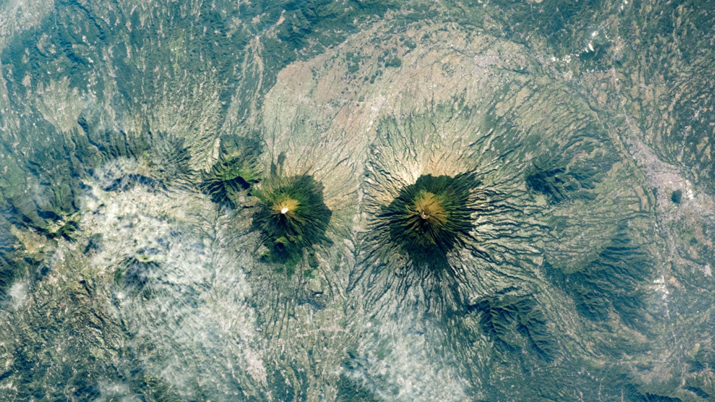
An astronaut photo of two near-identical volcanoes standing side-by-side on Indonesia's Java Island.Indonesia's 'Twin Peaks' volcanoes

A 2021 astronaut photo shows the surprising similarities between Mount Sundoro and Mount Sumbing, which lie at the heart of Java, Indonesia.

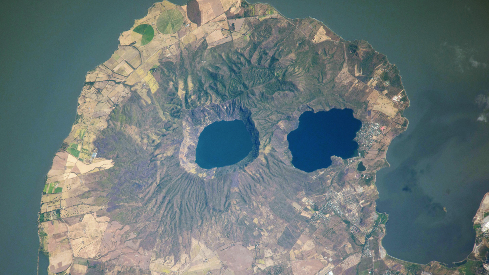
A satellite photo of a rounded peninsula in a lake, with two eye-like lakes at its centerVolcanic 'googly eyes' stare into space

A 2014 astronaut photo shows a pair of volcanic lakes appearing to stare up into space from the Chiltepe Peninsula of Nicaragua's Lake Managua. These "eyes" and "skull" were created by violent eruptions thousands of years ago.

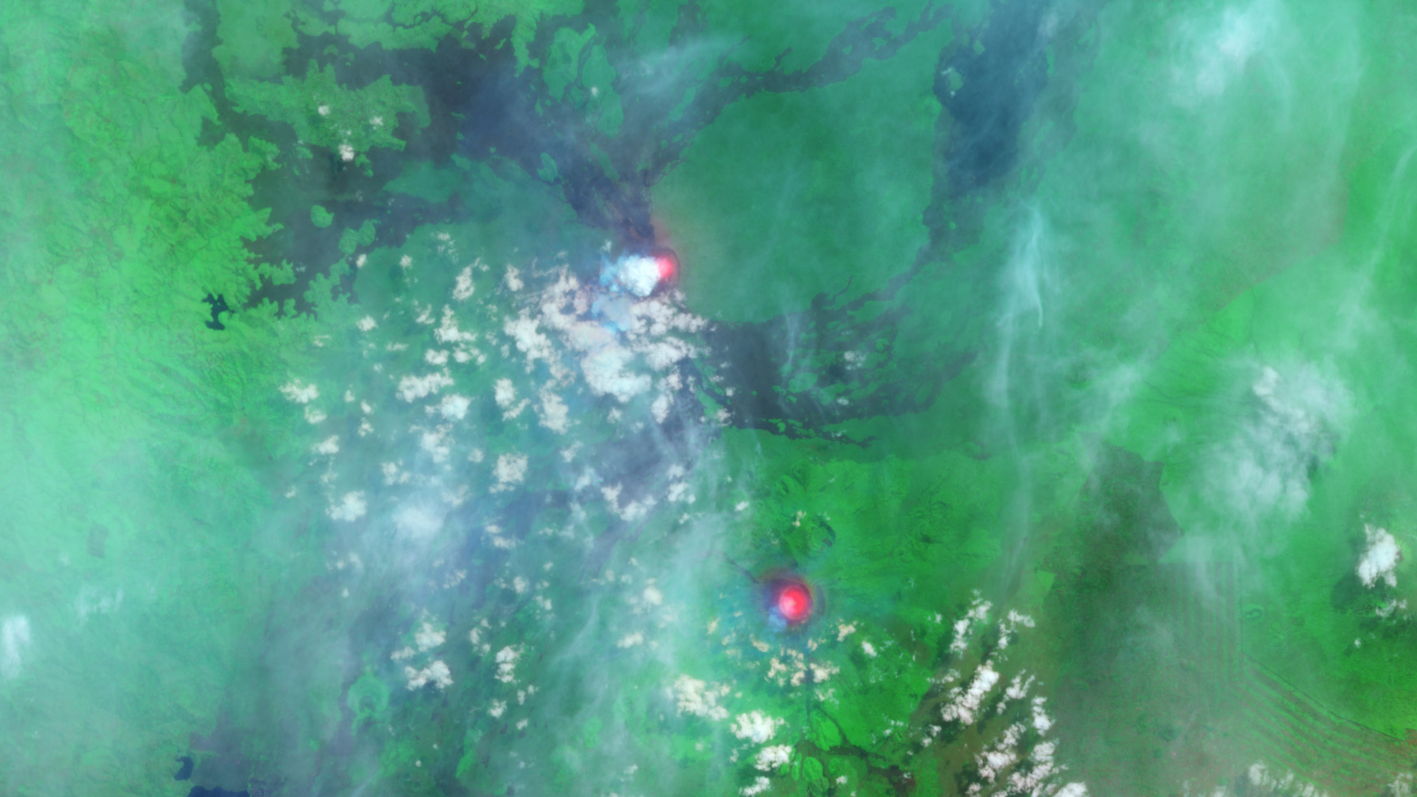
A satellite photo showing two bright red spots in a green landscapePair of 'glowing' lava lakes in Africa

This false-color satellite photo from 2014 shows the immense heat emanating from lava lakes at the summits of a pair of simultaneously erupting volcanoes in Congo.

  •  
❌