
❌

Reading view

European Union grants US request to restrict satellite images of Iran War region

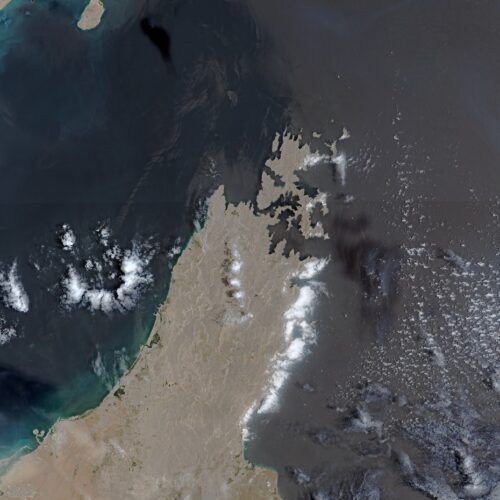
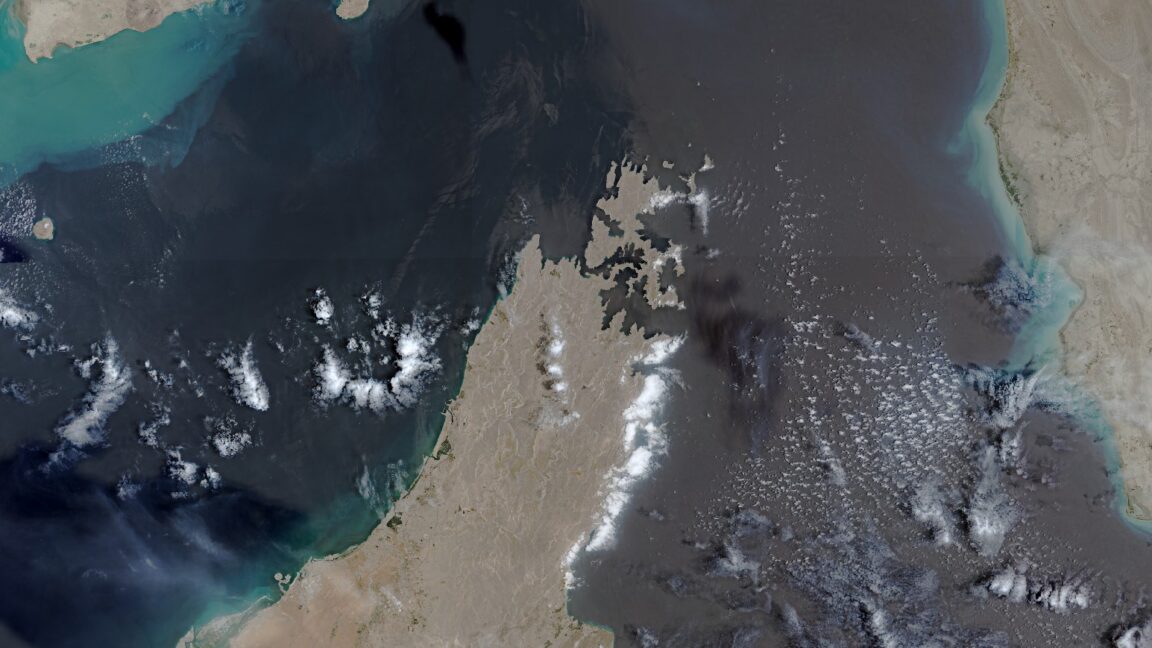
The European Union has begun delaying the release of satellite images showing shipping lanes near the Strait of Hormuz by 24 hours. The move comes in response to an earlier US government request and coincides with the Trump administration ramping up the war with Iran once again.

The unusual change in the free and open data policy for Europe’s Copernicus Earth observation program was revealed by Space News, which reviewed a copy of the decision made by the Council of the EU on July 13. The ordered delay applies to images taken by Sentinel-1 and Sentinel-2 satellites and covers the Gulf of Oman region that includes shipping lanes leading to and from the contested Strait of Hormuz.

The US government first requested that the European Union restrict Copernicus satellite imagery on May 26, according to the decision document seen by Space News. That request occurred during a shaky ceasefire period for the war that began on April 8 and ended on July 8, when the US military resumed a broader campaign of military strikes following an announcement by President Donald Trump.
Read full article

Comments

© European Union | Copernicus Sentinel-2

  •  

European Union grants US request to restrict satellite images of Iran War region

The European Union has begun delaying the release of satellite images showing shipping lanes near the Strait of Hormuz by 24 hours. The move comes in response to an earlier US government request and coincides with the Trump administration ramping up the war with Iran once again.

The unusual change in the free and open data policy for Europe’s Copernicus Earth observation program was revealed by Space News, which reviewed a copy of the decision made by the Council of the EU on July 13. The ordered delay applies to images taken by Sentinel-1 and Sentinel-2 satellites and covers the Gulf of Oman region that includes shipping lanes leading to and from the contested Strait of Hormuz.

The US government first requested that the European Union restrict Copernicus satellite imagery on May 26, according to the decision document seen by Space News. That request occurred during a shaky ceasefire period for the war that began on April 8 and ended on July 8, when the US military resumed a broader campaign of military strikes following an announcement by President Donald Trump.

Read full article

Comments

© European Union | Copernicus Sentinel-2

  •  

EU delays release of Copernicus imagery over Gulf of Oman 

The Gulf of Oman, imaged in September 2018 by the Copernicus Sentinel-3A satellite. Credit: ESA; CC BY-SA 3.0 IGO

JOHANNESBURG — The European Union has ordered a 24-hour delay in the release of some Sentinel-1 and Sentinel-2 imagery following a request from the United States based on concerns that […]

The post EU delays release of Copernicus imagery over Gulf of Oman  appeared first on SpaceNews.

  •  

Incêndios no Canadá: Imagens de satélite mostram avanço do fumo que pode afetar a final do Mundial

Imagens de satélite do programa Copernicus revelam a dimensão das plumas de fumo provocadas pelos incêndios florestais no Canadá, que estão a afetar a qualidade do ar na costa leste dos Estados Unidos e a levantar preocupações antes da final do Mundial de Futebol.

The post Incêndios no Canadá: Imagens de satélite mostram avanço do fumo que pode afetar a final do Mundial appeared first on Tek Notícias.

  •  

Et si la Méditerranée devenait le terrain de jeu de véritables ouragans ? Voici ce que disent les chercheurs

En mars 2026, le cyclone Jolina ravageait l'Afrique du Nord. Quelques années plus tôt, la tempête Daniel tuait des milliers de personnes à Derna, en Libye. Ces catastrophes ont un nom peu connu du grand public : les médicanes. Le réchauffement climatique leur donne de l'ampleur. 

  •  

Swiss decision to not contribute to Copernicus tests program’s value model

View of the Fagradalsfjall volcano on Iceland's Reykjanes Peninsula, acquired by the Copernicus Sentinel-2 satellite less than 10 hours after its eruption began on Feb. 8, 2024, with the lava flow and smoke plume clearly visible near the city of Grindavík. Credit: European Union, Copernicus Sentinel-2 imagery.

MILAN — Switzerland’s decision not to participate in the European Union’s Copernicus Earth observation program during the 2028–2034 funding cycle has revived a broader debate over the value of contributing […]

The post Swiss decision to not contribute to Copernicus tests program’s value model appeared first on SpaceNews.

  •  

ESA awards contract for next-generation radar imaging satellites

Sentinel-1 NG

Thales Alenia Space and Airbus Defence and Space won contracts to build the next generation of radar imaging satellites for Europe’s Copernicus Earth observation program.

The post ESA awards contract for next-generation radar imaging satellites appeared first on SpaceNews.

  •  

Maio de 2026 foi o segundo mais quente de sempre com Portugal a registar calor recorde

O mês de maio foi o segundo mais quente de sempre à escala global, tanto em terra como nos oceanos. A temperatura média do planeta atingiu 15,81 graus Celsius, ficando apenas atrás de maio de 2024. Portugal está entre os países da Europa que tiveram verão antecipado.

The post Maio de 2026 foi o segundo mais quente de sempre com Portugal a registar calor recorde appeared first on Tek Notícias.

  •  
❌