❌

Reading view

Colorful 'painting-like' ripples cover an ancient seafloor structure the Bahamas β€” Earth from space

QUICK FACTS

Where is it? Great Bahama Bank, Bahamas [23.547188707, -76.46352937]

What's in the photo? Submerged sandbanks and seagrass beds in shallow water

Which satellite took the photo? Landsat 8

When was it taken? Feb. 15, 2020

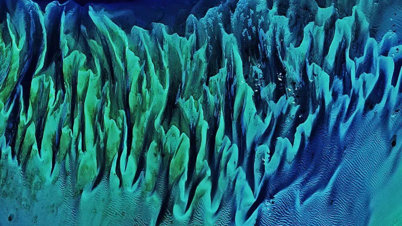
This ethereal satellite snap shows beautiful, "painting-like" folds within an ancient underwater structure in the Bahamas.

The Great Bahama Bank (GBB) is a massive submerged platform stretching around 330 miles (530 kilometers) across a shallow ocean channel between Andros Island and the Exuma islands, according to Britannica. The crescent-shaped bank surrounds a darkly colored ocean drop-off known as "The Tongue of the Ocean," which plunges to depths of 6,500 feet (2,000 meters), according to NASA's Earth Observatory.

The photographed section of the GBB is around 23 miles (37 km) across and features a series of submerged sandbanks β€” most of which are covered with dense seagrass beds β€” that lie between 7 and 40 feet (2 to 12 m) below the ocean's surface.

The varying water depth and seagrass concentration cause multiple hues of green and blue to shine across the sandbanks, which have been carved into smooth, folding ribbons by ocean currents over thousands of years.

"The varying colors and curves remind us of graceful strokes on a painting," Earth Observatory representatives wrote.
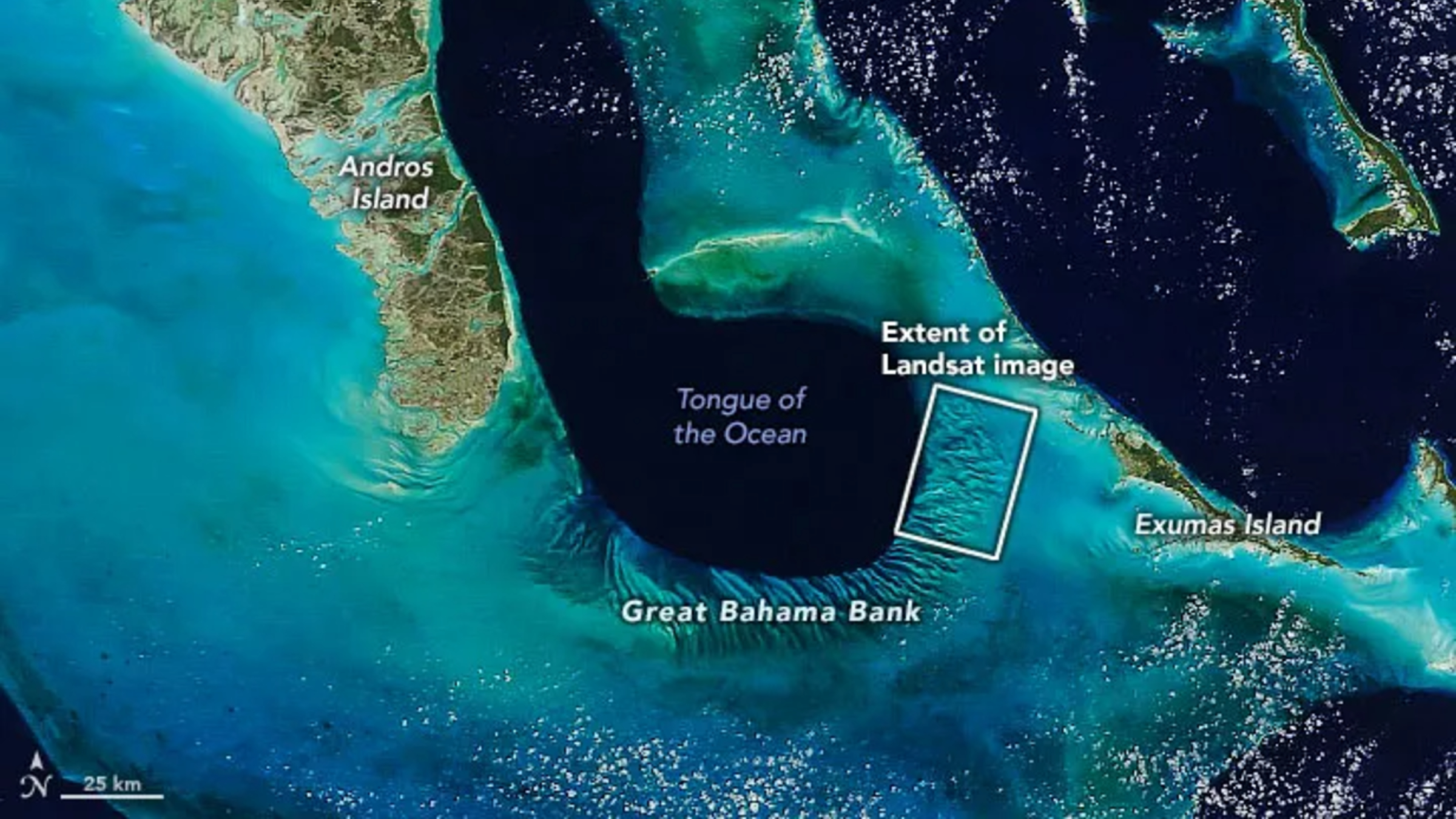
A zoomed out satellite photo showing the Great Bahama Bank's location relative to other islands and the

The Great Bahama Bank is a crescent-shaped structure spanning around 330 miles (530 kilometers) between Andros Island and the Exuma islands. (Image credit: NASA/Landsat)

This section of the GBB was first photographed in 2001 by the Landsat 7 satellite and has often appeared on lists of the most iconic aerial images of our planet.

"There are many nice seagrass and sand patterns worldwide, but none like this anywhere on Earth," Serge AndrΓ©fouet, an oceanographer at the French National Research Institute for Sustainable Development who first shared the 2001 image, told the Earth Observatory. "I am not surprised it is still a favorite, especially for people who see it for the first time."

The sandbanks are like giant underwater dunes carved out by ocean currents.

"Tides and ocean currents in the Bahamas sculpted the sand and seaweed beds into these multicolored, fluted patterns in much the same way that winds sculpted the vast sand dunes in the Sahara Desert," Earth Observatory representatives wrote in 2001.

The GBB lies atop a roughly 3-mile-thick (5 km) bed of limestone dating to the age of the dinosaurs, more than 65 million years ago. This hefty mass, made up of the remains of long-dead coral reefs, is so large that Earth's crust directly below the GBB has "sagged under the weight," according to the University of Texas at Austin's Marine Science Institute.
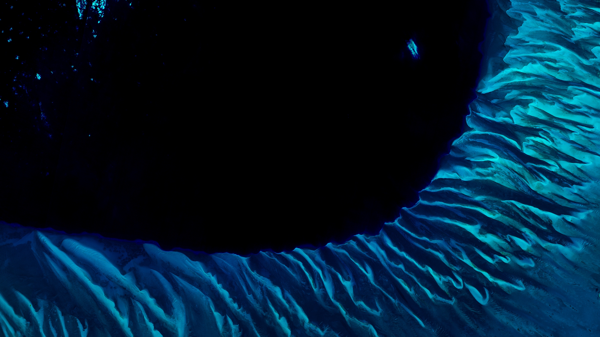
A satellite photo of the Great Bahama bank showing the point where it drops off into the dark

The Great Bahama Bank surrounds the edge of a deep sea drop-off known as the "Tongue of the Ocean," creating a striking contrast when viewed from above. (Image credit: USGS/ESA)

Before the end of the last ice age, around 12,000 years ago, this limestone slab had risen to more than 400 feet (120 m) above sea level and only resubmerged as global sea levels rose due to the melting of glaciers, according to the Marine Science Institute.

The Bahamas has more than 3,000 islands and smaller cays and is home to several other intriguing oceanographic features, including deep tidal channels off the coast of Great Exuma Island (which once harbored famous pirate ships) and a series of aurora-like sandbanks that appear to shine along the nation's northernmost islands.

See more Earth from space
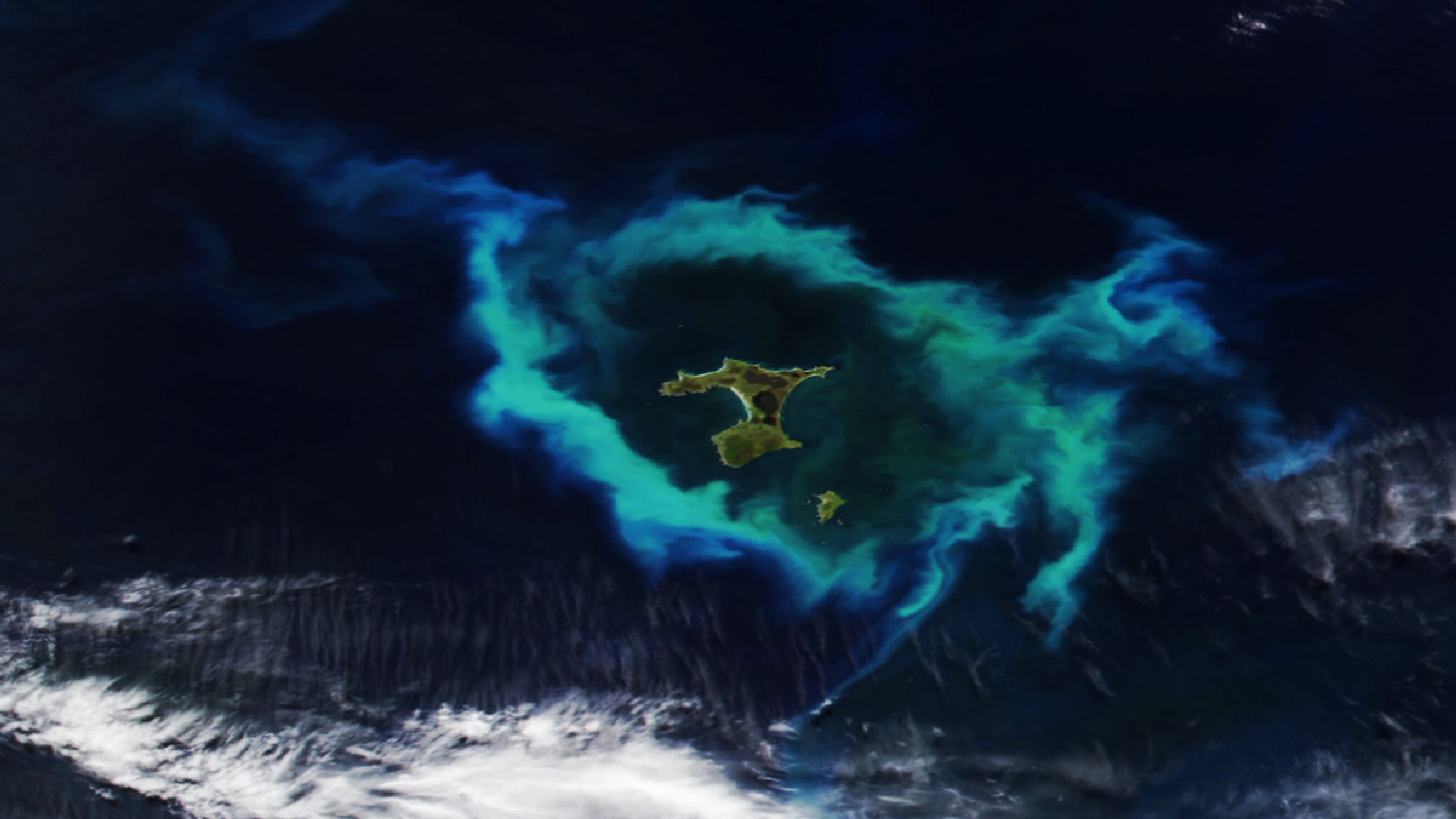
A satellite photo showing a group of islands in the Pacific Ocean with a glowing green ring of algae surrounding themGlowing ring of algae in New Zealand

A 2026 satellite photo captured a gleaming halo of phytoplankton encircling the remote Chatham Islands. The stunning sight is the result of a hidden underwater structure, which has also helped kill hundreds of cetaceans.
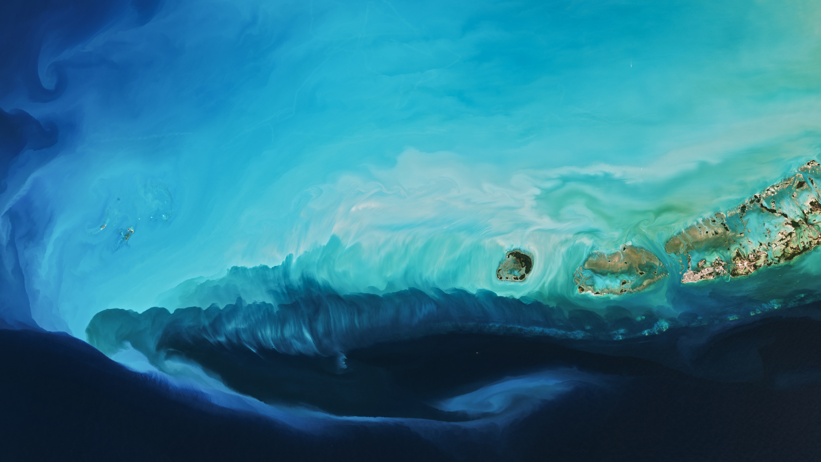
A beautiful light blue plume swirling in the sea off Key West'Arctic blast' paints plume in Florida

A 2026 satellite photo captured a stunning scene of sediment swirling across the West Florida Shelf after an extreme cold snap that covered large parts of the eastern U.S. in snow.

A satellite photo of a whale shaped island with a yellow circle highlighting to location of the Great Blue HoleWhale-shaped island in Belize

A 2020 astronaut photo shows the unusual cetacean-like shape of Belize's Lighthouse Reef. It's home to the famous Great Blue Hole, which doubles as the island's "blowhole" when viewed from space.
  •  

Atlantic 'cold blob' is responsible for shifts in the Indian summer monsoon that threaten over 1 billion people

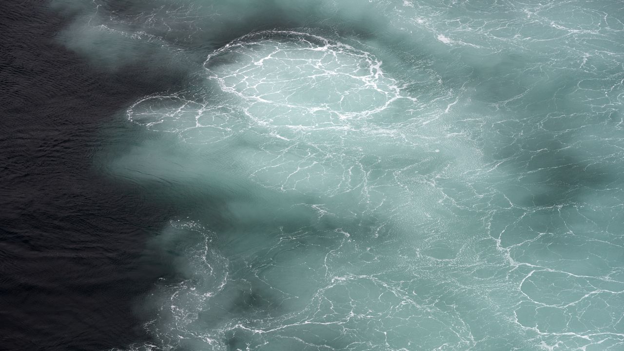
A giant blob of abnormally cold water in the North Atlantic Ocean is shifting the Indian summer monsoon, threatening the livelihoods of more than 1 billion people, new research suggests.

The link between these two systems highlights a previously unrecognized connection that could inform weather forecasts in South Asia and shed light on climatic events elsewhere, scientists say.

The Indian summer monsoon is a rainfall pattern that lasts from June to September and is driven by temperature differences between the warm northern Indian Ocean and cooler seawater below the equator. Historically, the monsoon triggered heavy rainfall along the west coast of India and a huge region of northern India called the Indo-Gangetic Plain. But since 1999, this pattern has changed dramatically, the researchers reported in a new study.

Northwest India now receives about 25% more rain during the monsoon season than it did before 1999, while the Indo-Gangetic Plain gets roughly 4% less, the team found. This is disastrous for farmers, in particular, because their soils and crops are adapted to the old rainfall pattern, said study first author Mahendra Nimmakanti, a climate scientist at the Indian Institute of Science's Centre for Atmospheric and Oceanic Sciences.

"India is largely dependent on agriculture," Nimmakanti told Live Science in a joint interview with study co-author Matthew Huber, a professor in the Department of Earth, Atmospheric, and Planetary Sciences at Purdue University in Indiana. Higher-than-normal precipitation in northwest India is causing flash floods and crop losses, because agriculture in this region is adapted to dry conditions. Meanwhile, the Indo-Gangetic Plain has seen periods of drought that also caused crop declines and impacted farmers' livelihoods, Nimmakanti said.

Previous studies have linked shifts in the Indian summer monsoon to changes in the Atlantic Meridional Overturning Circulation (AMOC), a giant web of ocean currents in the Atlantic that regulates the global climate and carries heat to the Northern Hemisphere. Data suggests the AMOC is slowing due to climate change and releasing less heat in the North Atlantic Ocean than it did before. This may be causing a southward shift of the Intertropical Convergence Zone, a band of low-pressure atmospheric conditions around the equator that drives tropical monsoons, including the Indian summer monsoon.

But these studies didn't specify how the Indian monsoon might shift or explain the underlying mechanism in detail, Nimmakanti said. "They generally explain that if there is a weakening of AMOC, that suppresses the Indian summer monsoon," he said.

One part of the problem is that current climate models do not show the changes in the Indian monsoon that have happened in real life, possibly because they also don't fully capture shifts in North Atlantic sea surface temperatures. This is especially true for a region southeast of Greenland known as the "cold blob," where the water was colder between 1901 and 2021 than it was in the late 1800s, even as the ocean around it heated up.

The cold blob suggests the AMOC is weakening because it points to a reduction in the amount of heat reaching the North Atlantic.

To pinpoint how and why the Indian monsoon has changed, the researchers fed precipitation data, sea surface temperature records and other real-life observations into dozens of climate models. This reproduced the shifts observed over the past 27 years. However, the results only implied a correlation between shifts in the North Atlantic and changes in the monsoon, not that the former directly caused the latter.

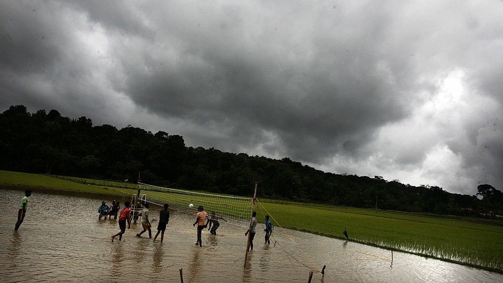
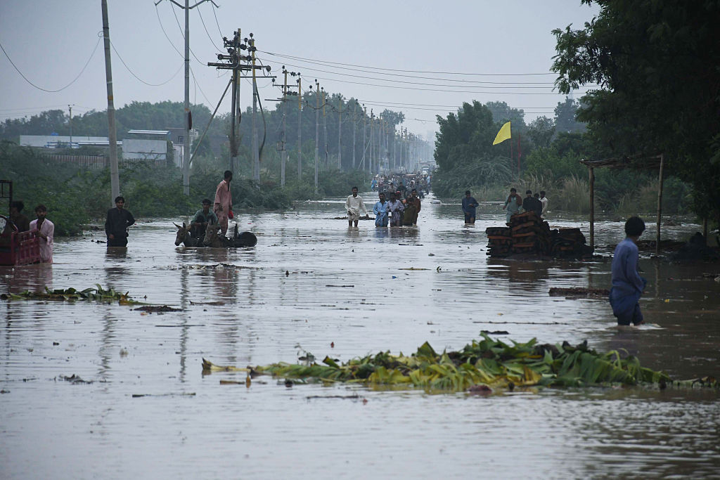
People wade through floodwater after heavy monsoon rains in Karachi, Pakistan.

Northwest India now gets 25% more rain during the monsoon season than it did before 1999, and this shift has also increased flooding risk in Pakistan. (Image credit: Sabir Mazhar/Anadolu via Getty Images)

To figure out if North Atlantic sea surface temperatures caused the Indian monsoon to behave strangely, the team added and removed the cold blob in a simulation. The results showed that the cold blob has shifted the Indian monsoon by creating a strong temperature gradient over the North Atlantic, which, in turn, affects jet stream winds and pressure systems in the atmosphere above Eurasia.

Specifically, the jet stream above the North Atlantic has intensified, and a "blocking" system over the Ural Mountains in western Russia has strengthened, Huber said. As a result, weather systems in India have changed, sucking moist air toward the country's northwest and away from other regions.

"It's a shifting of the high- and low-pressure systems," Huber said. "Realizing that these two systems were directly linked through this wave train coming off the North Atlantic, that was novel."

More than 1 billion people in India and other parts of South Asia depend on the monsoon for food security and economic stability. The new results, published April 27 in the journal AGU Advances, could help forecasters predict extreme rainfall and drought events in India and neighboring countries like Pakistan during the monsoon season.

Some researchers think the Indian monsoon is a key tipping point within the global climate, and the findings suggest the system crossed a threshold in 1999. Since then, the cold blob has caused a "persistent jet stream reorganization," leading to abrupt shifts in the monsoon, according to the study.

It's unclear how the Indian monsoon will evolve under intensifying climate change, because climate models produce different predictions of what will happen in the North Atlantic, and other drivers may come into play as the world changes, Huber said.

"What we do now know is that this is one of the key building blocks of formulating a theory for what will happen in the future," he said.

  •  
❌