President Trump recently blamed Ukrainian attacks on Russian refineries for causing a spike in diesel prices, but analysts say the Iran war is probably a bigger factor.
Oil companies and governments are consuming their once vast stockpiles as Iran and the United States continue to struggle for control over the Strait of Hormuz.
Satellite images have revealed new damage to Amazon data centers in the Middle East along with at least one crucial Saudi oil facility, following missile and drone attacks by Iran and its Houthi allies.
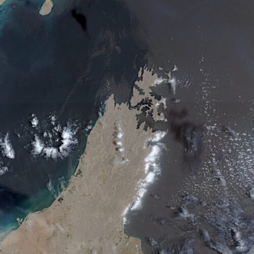
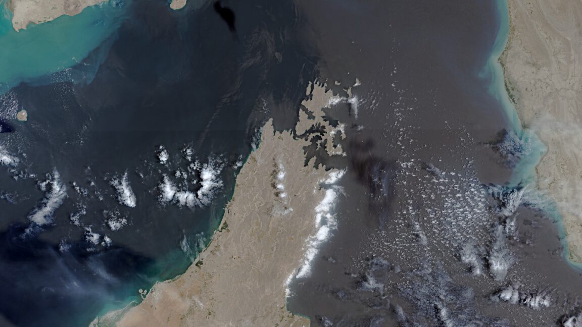
The images from Europe’s Copernicus Sentinel-2 satellites provide evidence of a widening war as the United States and several Gulf states exchange military strikes with Iran, the Houthi faction in Yemen, and Iran-backed militias in Iraq. Such satellite images also offer independent verification of claimed war damage, despite the US government having pressured US commercial firms and even Europe to restrict satellite imagery of the region.
Three Amazon data centers in the United Arab Emirates and Bahrain were already previously damaged by Iranian drone strikes on March 1. Those earlier attacks stuck Amazon with months of expected repairs and forced Amazon Web Services customers in the Middle East to migrate workloads to other cloud regions.
Attacks in the Strait of Hormuz during the Iran war have led Saudi Arabia to rely on an alternative route for exporting oil. Our reporter Rebecca F. Elliott explains how that route is now threatened by the Houthis, a Yemeni militia supported by Iran.
The European Union has begun delaying the release of satellite images showing shipping lanes near the Strait of Hormuz by 24 hours. The move comes in response to an earlier US government request and coincides with the Trump administration ramping up the war with Iran once again.
The unusual change in the free and open data policy for Europe’s Copernicus Earth observation program was revealed by Space News, which reviewed a copy of the decision made by the Council of the EU on July 13. The ordered delay applies to images taken by Sentinel-1 and Sentinel-2 satellites and covers the Gulf of Oman region that includes shipping lanes leading to and from the contested Strait of Hormuz.
The US government first requested that the European Union restrict Copernicus satellite imagery on May 26, according to the decision document seen by Space News. That request occurred during a shaky ceasefire period for the war that began on April 8 and ended on July 8, when the US military resumed a broader campaign of military strikes following an announcement by President Donald Trump.
Saudi Arabia has diverted huge amounts of oil to the Red Sea since the Iran war began, but now the Iranian-backed Houthi militants say that they intend to block that route.
The US military said it has launched its 10th consecutive round of strikes on Iran to force the reopening of the strait of Hormuz.
Earlier on Monday, Iran’s president said the country is in a “full-scale war” after the US expanded its aerial campaign and Tehran struck Washington’s Gulf allies, even as diplomats said talks to de-escalate were continuing.
For decades, OPEC influenced the market by how much oil it produced. But China, the largest importer, is demonstrating its remarkable power over prices.
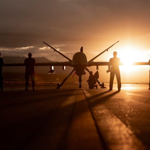
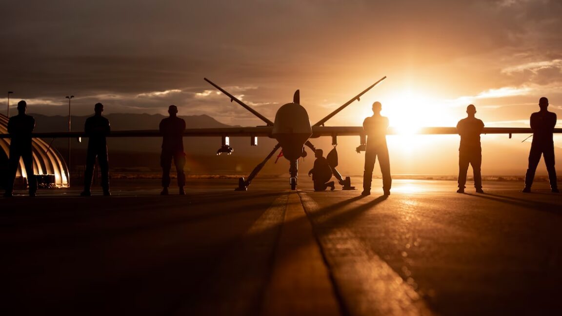
The US military has lost dozens of Reaper drones collectively worth more than $1 billion while carrying out surveillance and attack missions over Iran. Now the Pentagon is seeking large numbers of cheaper drones that can perform such missions despite the expectation that many will be lost in combat.
In a call for industry pitches, the Defense Innovation Unit’s notice described the US military’s current reliance on drones and crewed aircraft, each costing more than $30 million, as being “unsustainable against adversaries utilizing layered defenses enabled by increasingly low-cost antiaircraft capabilities.” It envisions deploying more “cost-effective” drones to “overwhelm enemy air defenses even while experiencing numerous [drone] losses.”
That is, in practice, what Ukraine’s military has been demonstrating with its long- and mid-range strike campaign against Russian supply lines, oil refineries, and various energy or industrial targets within Russia or occupied Ukraine. The Ukrainian campaign has been overwhelming Russia’s overstretched air defense capabilities by launching hundreds of relatively inexpensive drones and missiles on a daily basis to attack targets far behind the frontlines, while continuing to damage or destroy Russia’s most sophisticated air defense systems.
Smaller U.S. oil producers are starting to drill more wells, but big companies like Exxon Mobil and Chevron have said they are not changing their plans as a result of the war with Iran.
The Oxford Institute for Energy Studies is one of the world's most respected institutions in energy economics. But its ideological commitment to the 'climate emergency' is now damaging its research, says Dr Tilak Doshi.

 Login